What is recorded here
In grass and bogland. A poorly preserved C-shaped mound of earth and stone (D 3.3m, H 1.8m max.) with a hollow centre (D 1.8m) opening towards NNE. Its size and location suggest a fulacht fiadh, though local opinion holds it to have been related to a limekiln, c. 5m to SW, which is marked on 3rd ed. of OS 6-inch map (1932) as a small mound.
The above description is derived from the published 'Archaeological Inventory of County Galway Vol. II - North Galway'. Compiled by Olive Alcock, Kathy de hÓra and Paul Gosling (Dublin: Stationery Office, 1999).
Date of upload: 05 August 2010
The monument record does not grant public access. Check the route and ask the landowner before entering private land.
- What survives
- Recorded monument
Places near here
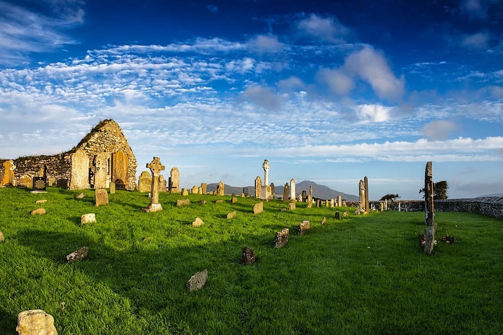 Killosolan ChurchChurch · 877 yd
 Site of FortFairy fort / earthen ringfort · 1312 yd
 IndicatedFairy fort / ringfort · 1664 yd
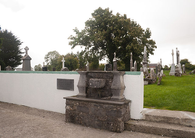 Quarry in CaltraQuarry · 1.5 mi
 Cloonavihony WoodForest · 2.4 mi
 Tower (in Ruins)Castle, tower house · 2.6 mi
 Ballinlass Eviction MemorialMemorial · 2.9 mi
 Wych ElmWych Elm · 3.1 mi
 Castle (Site of)Castle, unclassified · 3.1 mi
 Mount MaryMountain / peak · 7.3 mi
 Sally IslandIslet · 8.3 mi
 Kilconnell AbbeyHeritage attraction · 9.2 mi