What is recorded here
Hot stones cracked and hissed along the Fiddaunglass, marking a line of kitchens where people gathered to cook, clean or celebrate. The grassy mound still holds charcoal and broken rock, testifying that heat and water worked together beside the stream. It is not a grand palace, but a repeated human act made visible: fire tended, food prepared, and memory buried in damp soil.
In an expanse of flat, damp pasture bordering the N bank of the Fiddaunglass stream. Rath (MA038-091) is located on a knoll 15m to SW. One of a linear cluster of fulacht fias along the line of the river
Roughly kidney-shaped, grass-covered mound (c. 8m NNW-SSE; c. 6m ENE-WSW; H. 0.4m) composed of heat-shattered stone in charcoal-rich soil. The slight curve of indentation on the SW side of the mound may indicate the location of a trough. This is one of a linear cluster of fulachtai fia/burnt mounds (MA038-188---- to MA038-194----) located along the course of the stream.
Compiled by: Jane O'Shaughnessy
Date of upload: 20 August 2019
The monument record does not grant public access. Check the route and ask the landowner before entering private land.
- What survives
- Recorded monument
Places near here
 IndicatedFairy fort / earthen ringfort · 49 yd
 LisheenFairy fort / earthen ringfort · 192 yd
 CastleCastle, unclassified · 1652 yd
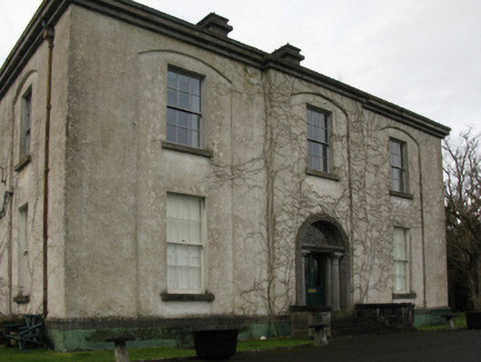 Castlehill Housefarm house · 1670 yd
 Ballyduffy CastleCastle, unclassified · 1.1 mi
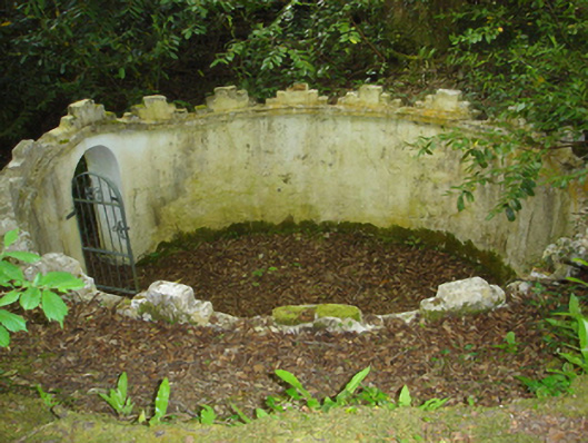 Enniscoe Housemausoleum · 1.2 mi
 Castle IslandIslet · 1.7 mi
 Titanic Memorial ParkMemorial · 1.8 mi
 Grave of the KingsArchaeological place · 2.0 mi
 Roe IslandIslet · 2.0 mi
 NephinMountain / peak · 3.4 mi
 FarbreigaMountain / peak · 6.8 mi