What is recorded here
In pasture; shown as circular mound on OS 6-inch map (1935). According to local information, mound of burnt material was 'fifteen to twenty feet in diameter and three feet high' and was levelled c. 1984.
The above description is derived from the published 'Archaeological Inventory of County Cork. Volume 2: East and South Cork' (Dublin: Stationery Office, 1994). In certain instances the entries have been revised and updated in the light of recent research.
Date of upload/revision: 14 January 2009
The monument record does not grant public access. Check the route and ask the landowner before entering private land.
- What survives
- Recorded monument
Places near here
 Folacht FiadhFulacht fia · 857 yd
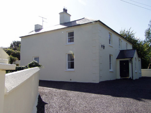 presbytery/parochial/curate's housepresbytery/parochial/curate's house · 1708 yd
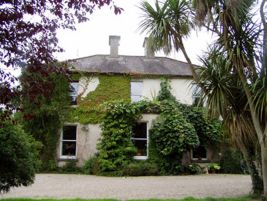 Conna Househouse · 1739 yd
 Anomalous stone group in Ballinlegane (kinnatalloon By.)Anomalous stone group · 1.0 mi
 Castlebrook forestWood · 1.2 mi
 Aghern CemeteryWood · 1.3 mi
 Conna CastleCastle · 1.4 mi
 Conna Castle (in Ruins)Castle, tower house · 1.4 mi
 Graveyard in Curraheen (kinnatalloon By.)Graveyard · 1.8 mi
 Graveyard in KillasseraghGraveyard · 2.9 mi
 Salt HillMountain / peak · 3.8 mi
 Coole WellVisitor information · 4.3 mi