
What is recorded here
In rough grazing on NW-facing slope. 'Cluster of large stones which looklike collapsed megalithic. Known locally as "Druid's Altar" (UCC). Removed; stones pushed into field boundary.
The above description is derived from the published 'Archaeological Inventory of County Cork. Volume 2: East and South Cork' (Dublin: Stationery Office, 1994). In certain instances the entries have been revised and updated in the light of recent research.
Date of upload/revision: 14 January 2009
The monument record does not grant public access. Check the route and ask the landowner before entering private land.
- What survives
- Recorded monument
Places near here
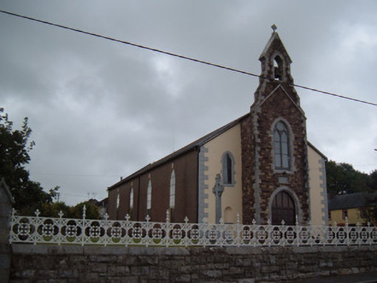 Saint Catherine's Catholic Churchchurch/chapel · 684 yd
 Hurleyhouse · 742 yd
 Grave YdGraveyard · 993 yd
 IndicatedFairy fort / earthen ringfort · 1255 yd
 Castlebrook forestWood · 1.8 mi
 Conna CastleCastle · 2.0 mi
 Conna Castle (in Ruins)Castle, tower house · 2.0 mi
 Graveyard in Curraheen (kinnatalloon By.)Graveyard · 2.1 mi
 Aghern CemeteryWood · 2.2 mi
 Graveyard in KillasseraghGraveyard · 2.3 mi
 Salt HillMountain / peak · 2.8 mi
 Leahy's Open FarmHeritage attraction · 4.0 mi
Other information
Photo: Credit not shown in the picture search · Rights wording not checked; contact us if this picture should be removed