What is recorded here
Low circular mound (diam. 15m) of burnt material, in tillage, on SW-facing slope.
The above description is derived from the published 'Archaeological Inventory of County Cork. Volume 1: West Cork' (Dublin: Stationery Office, 1992). In certain instances the entries have been revised and updated in the light of recent research.
Date of upload/revision: 14 January 2009
The monument record does not grant public access. Check the route and ask the landowner before entering private land.
- What survives
- Recorded monument
Places near here
 Cottage MuseumMuseum · 281 yd
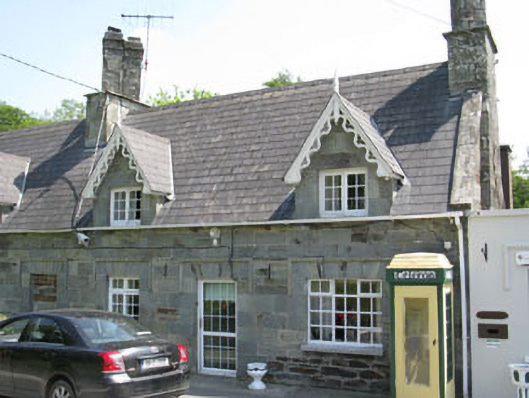 worker's houseworker's house · 288 yd
 Historic buildingOfficially recorded historic building · 288 yd
 Man-made underground passage in KilkeranMan-made underground passage · 655 yd
 Fulacht fia in Camus (ibane and Barryroe By., Rathbarry Par.)Fulacht fia · 1164 yd
 Sitka SpruceSitka Spruce · 1180 yd
 Castle Freke WoodsForest · 1249 yd
 Bawn in CastlefrekeBawn · 1543 yd
 Lord Carbery's Cross TrailWalking route · 1.0 mi
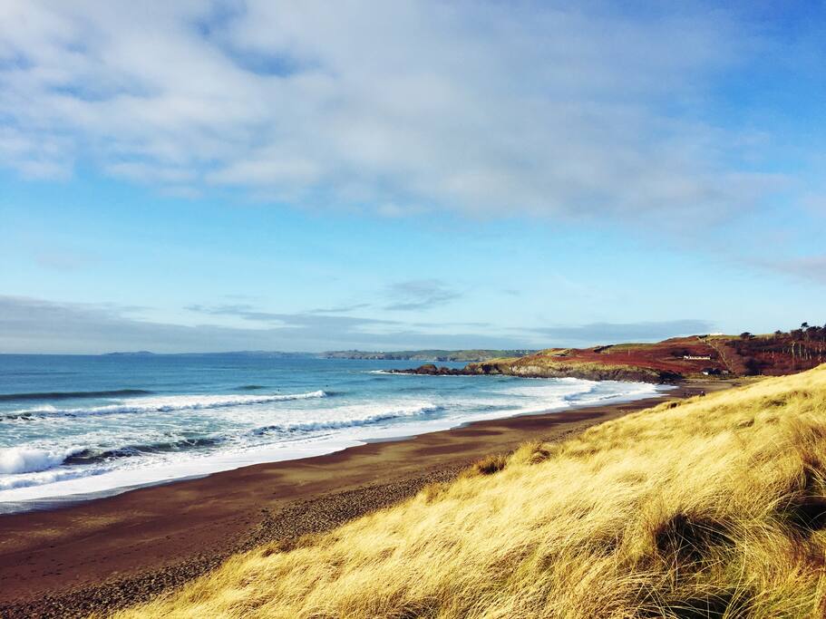 The Long StrandBeach / strand · 1.2 mi
 Galley Head ViewViewpoint · 1.3 mi
 Little Island StrandBeach / strand · 1.6 mi