
What is recorded here
In pasture, near the base of a W-facing slope, with a marshy area 20m to the NW. A horseshoe-shaped mound (H 0.85m; 15.1m N-S; 8.3m E-W) of burnt material. There is a quarry depression (4.2m N-S; 3m E-W) on the S side of the mound. The opening (Wth 2.5m) faces W.
Compiled by: Denis Power
Date of upload: 26 August 2011
The monument record does not grant public access. Check the route and ask the landowner before entering private land.
- What survives
- Recorded monument
Places near here
 Enclosure in KildimoEnclosure · 100 yd
 IndicatedEnclosure · 500 yd
 Church in KildimoChurch · 877 yd
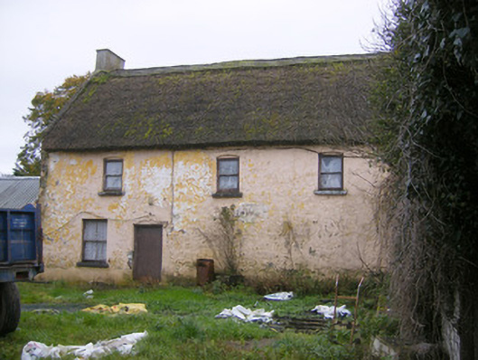 Ashgrove Househouse · 1514 yd
 Celtic Park and GardensHeritage attraction · 1758 yd
 Bolane CastleCastle · 1.3 mi
 Derreen Castle (in ruins)Castle, tower house · 1.7 mi
 KnocknagowerNamed rock · 1.9 mi
 Stonehall Visitor FarmHeritage attraction · 2.0 mi
 European BeechEuropean Beech · 3.2 mi
 European YewEuropean Yew · 3.8 mi
 Grass IslandIslet · 4.3 mi
Other information
Photo: Credit not shown in the picture search · Rights wording not checked; contact us if this picture should be removed