What is recorded here
According to local information, at least four spreads of dark soil noticed from a distance when field was ploughed (pers. comm. Jane O'Shaughnessy). Field under pasture on several subsequent visits and fulachta fiadh could not be positively identified.
The above description is derived from the published 'Archaeological Inventory of County Cork. Volume 3: Mid Cork' (Dublin: Stationery Office, 1997). In certain instances the entries have been revised and updated in the light of recent research.
Date of upload/revision: 14 January 2009
The monument record does not grant public access. Check the route and ask the landowner before entering private land.
- What survives
- Recorded monument
Places near here
 Church (in Ruins)Church · 261 yd
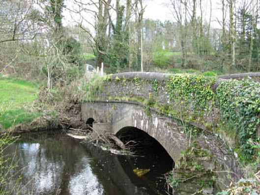 Dripsey Castle Bridgebridge · 283 yd
 Burnt spread in Clonmoyle EastBurnt spread · 493 yd
 Carrignamuck Tower HouseCastle · 796 yd
 Ritual siteRitual site, holy/saint's stone · 867 yd
 Oldcastle WoodWood · 1.2 mi
 Coachford Greenway (End)Visitor information · 2.4 mi
 Old Mansion HoCastle, Anglo-Norman masonry castle · 2.6 mi
 Farran WoodWood · 2.7 mi
 Mullinhassig WaterfallWaterfall · 3.0 mi
 Sunday's WellSpring · 3.3 mi
 Bob AdamsMemorial · 3.8 mi