What is recorded here
Situated on a slight E-facing slope in a fairly level low-lying landscape. Archaeological monitoring (01E0367) of a pipeline identified a fulacht fia in area A that was subsequently excavated (01E0561) (Elliott 2001). It consisted of a rectangular trough (dims 1.7m E-W; 1m N-S; D 0.2m) with a primary fill of grey/black soil with some burnt stone and charcoal inclusions. The top of the trough splayed outwards and there was a post-hole surrounded by burnt stake-holes in each corner of the trough at the base. The trough was accompanied by a pit (dims 0.48m x 0.42m; D 0.1m) with an oval depression nearby. There was no evidence of a hearth, and the excavator postulates that it was only used once and might have had a leather lining. (Elliott 2001a, 2003)
Compiled by: Michael Moore
Date of upload; 14 August 2019
The monument record does not grant public access. Check the route and ask the landowner before entering private land.
- What survives
- Recorded monument
Places near here
 Enclosure in Johnstown (moyfenrath Lower By., Rathcore Par.)Enclosure · 491 yd
 EnclosureEnclosure, large enclosure · 648 yd
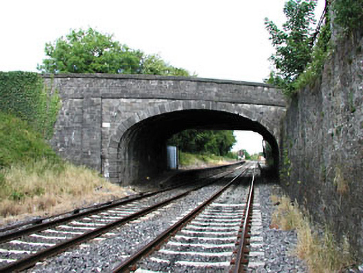 bridgebridge · 850 yd
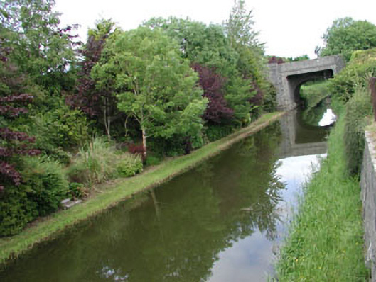 canal (section of)canal (section of) · 857 yd
 Bawn in Newcastle (moyfenrath Lower By.)Bawn · 1.3 mi
 Site of Dunfierth CastleCastle, unclassified · 1.3 mi
 European ashEuropean ash · 1.9 mi
 Cloncurry GraveyardHeritage attraction · 1.9 mi
 Old Bog Road made famous by Teresa Bryton 1868-1943Memorial · 3.2 mi
 The Grill ShackHeritage attraction · 4.2 mi
 Wych ElmWych Elm · 4.6 mi
 9/11 MemorialMemorial · 5.8 mi