
What is recorded here
Boyle’s Rath stands as a grassy oval on a low rise in County Meath, its earthen bank and outer fosse marking a boundary that has watched the land for centuries. Children in the 1930s filled their notebooks with folklore about the place, giving shape to the quiet strangeness of the ridge and the missing section where old quarries bit into the east. The enclosure does not shout; it holds its form in the flat landscape, waiting for someone to walk the bank and imagine who first drew the line.
Situated on a rise in a level, low-lying landscape with the headwaters of a small NE-SW tributary of the SE-NW Blackwater River c. 50m to the NW. This enclosure was known locally as ‘Boyle’s Rath’ in the 1930s and a lot of folklore is associated with it (IFC Schools Collection, vol. 692, 248). This is a slightly raised oval and grass-covered area (dims 82m NE-SW; 48.5m NW-SE) defined by an earthen bank (Wth of base 7-8m; int. H 0.1m at W to 0.6m at SSW; ext. H 1.3m at ESE to 2.3m at NNE) and an outer fosse (Wth of top 5.5m at NNE to 7-10m generally; Wth of base 1-2m; ext. D 0.2-0.5m), which is missing NE-E where there are some old quarries. A natural NE-SW ridge runs through the interior, and there is an in-turned entrance (Wth of base 3.25m) at E.
The above description is derived from the published 'Archaeological Inventory of County Meath' (Dublin: Stationery Office, 1987). In certain instances the entries have been revised and updated in the light of recent research.
Compiled by: Michael Moore
Date of revision: 14 August 2019
Amended: 24 March 2023
This monument is subject to a preservation order made under the National Monuments Acts 1930 to 2014 (PO no. 21/1977).
The monument record does not grant public access. Check the route and ask the landowner before entering private land.
- What survives
- Recorded monument
Places near here
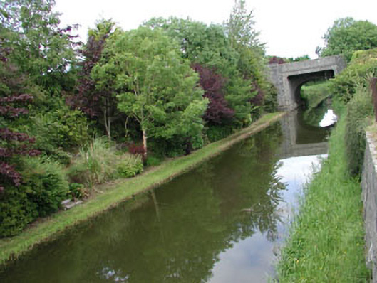 canal (section of)canal (section of) · 215 yd
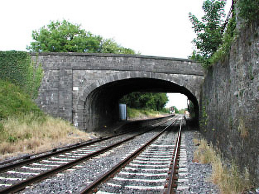 bridgebridge · 215 yd
 Enclosure in Johnstown (moyfenrath Lower By., Rathcore Par.)Enclosure · 849 yd
 Enclosure in Posseckstown (moyfenrath Lower By.)Enclosure · 1419 yd
 Bawn in Newcastle (moyfenrath Lower By.)Bawn · 1.1 mi
 Site of Dunfierth CastleCastle, unclassified · 1.7 mi
 European ashEuropean ash · 1.8 mi
 Cloncurry GraveyardHeritage attraction · 1.8 mi
 Old Bog Road made famous by Teresa Bryton 1868-1943Memorial · 3.1 mi
 Wych ElmWych Elm · 4.3 mi
 The Grill ShackHeritage attraction · 4.5 mi
 9/11 MemorialMemorial · 6.0 mi
Other information
Photo: Credit not shown in the picture search · Rights wording not checked; contact us if this picture should be removed