What is recorded here
A sporadic spread of heat fractured stones over an area 14m x 14m was discovered here prior to construction of the M1 motorway (Excavation Licence No. 00E0942). Removal of this layer revealed a possible sub-rectangular trough (2.4m x 1.5m; D 0.25m). It was cut into the sub-soil and filled with burnt stones and charcoal. Eight stakeholes/postholes were discovered around the possible trough. (Campbell, 2002)
Compiled by: Claire Breen
Date of upload: 26 June 2013
The monument record does not grant public access. Check the route and ask the landowner before entering private land.
- What survives
- Recorded monument
Places near here
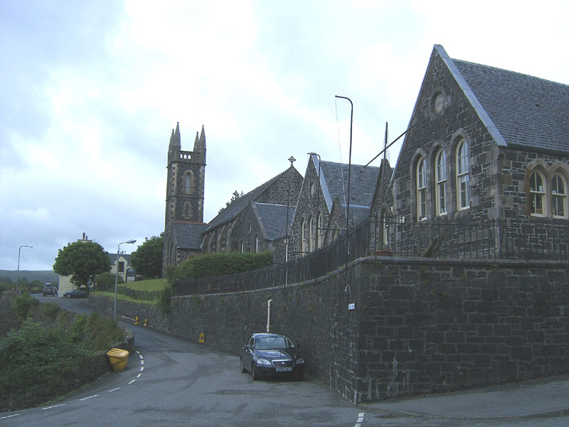 Tobar na SolaisHoly well · 301 yd
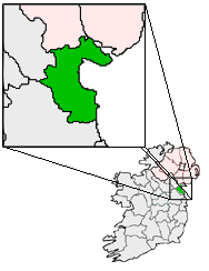 Structure in BalgatheranStructure · 650 yd
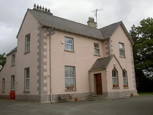 presbytery/parochial/curate's housepresbytery/parochial/curate's house · 1425 yd
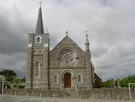 Catholic Church of Our Lady of the Assumptionchurch/chapel · 1434 yd
 Grove IslandIslet · 1.6 mi
 Battle of the Boyne Visitor CentreMuseum · 1.6 mi
 Battle of the BoyneMajor battlefield · 1.7 mi
 Yellow IslandIslet · 1.7 mi
 European YewEuropean Yew · 1.8 mi
 Quarry Garden WoodForest · 1.8 mi
 Drummond TowerCastle · 2.0 mi
 Proudfootstown CastleCastle, unclassified · 2.3 mi