What is recorded here
Discovered prior to road construction (Excavation Licence No. 00E0178). A burnt spread (7.6m x 10.8m; D 0.7m) was initially exposed. Removal of this uncovered a trough and a pit. The trough (2.3m x 1.6m; D 0.6m) was oval in shape and flat bottomed. Several planks of alder wood were found at its base together with 19 stake-holes. The full extent of this fulacht fia was not established as it continued beyond the road take. Five pits were excavated 13m the N, one of which contained two sherds of pottery dating to the Late Bronze Age. (Duffy 2002, 231)
Compiled by: Claire Breen
Date of upload: 21 June 2013
The monument record does not grant public access. Check the route and ask the landowner before entering private land.
- What survives
- Recorded monument
Places near here
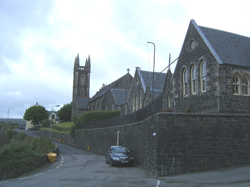 Tobar na SolaisHoly well · 419 yd
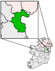 Structure in BalgatheranStructure · 845 yd
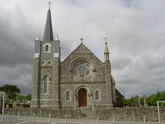 Catholic Church of Our Lady of the Assumptionchurch/chapel · 1390 yd
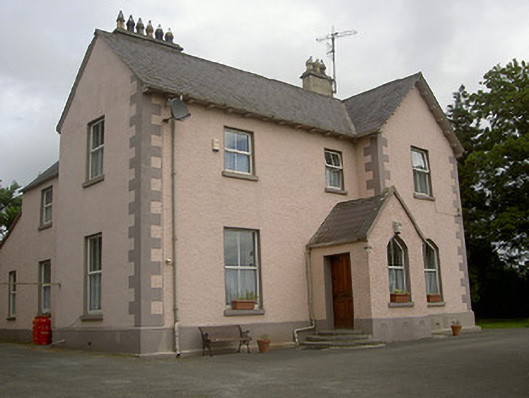 presbytery/parochial/curate's housepresbytery/parochial/curate's house · 1417 yd
 Grove IslandIslet · 1.5 mi
 Battle of the Boyne Visitor CentreMuseum · 1.6 mi
 Yellow IslandIslet · 1.6 mi
 Battle of the BoyneMajor battlefield · 1.6 mi
 European YewEuropean Yew · 1.7 mi
 Quarry Garden WoodForest · 1.9 mi
 Drummond TowerCastle · 2.1 mi
 Proudfootstown CastleCastle, unclassified · 2.3 mi