What is recorded here
In level, ungrazed pasture. A fulacht fia (TS063-056----) is located c. 45m to E. Identified as a levelled fulacht fia during investigations on the Cork-Dublin gas pipeline but not excavated (1981-2) (Cleary et al 1987, 6). There is a pond depicted to the W on the 2nd (1906) ed. OS 6-inch map which has since been backfilled. There is a trackway c. 10m to the E. It is not visible at ground level.
Compiled by: Jean Farrelly
Date of upload: 26 August 2011
The monument record does not grant public access. Check the route and ask the landowner before entering private land.
- What survives
- Recorded monument
Places near here
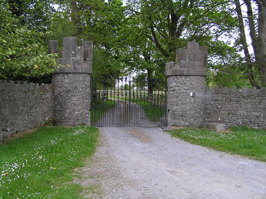 Hiltongates/railings/walls · 1084 yd
 Enclosure in KyleaglannaEnclosure · 1416 yd
 Quarry in CappogeQuarry · 1728 yd
 IndicatedFairy fort / earthen ringfort · 1.0 mi
 St. Johns Monastery (in ruins)Castle, hall-house · 1.2 mi
 Fenane WoodForest · 2.0 mi
 Modeshil Castle (in ruins)Castle · 2.2 mi
 KillameryVisitor information · 2.6 mi
 Killamery High CrossVisitor information · 2.7 mi
 The SpoutMemorial · 2.9 mi
 European ashEuropean ash · 2.9 mi
 James (Jim) McKennaMemorial · 3.3 mi