What is recorded here
In forestry, located at base of N-facing slope, bordering an expanse of reclaimed wet ground.
An oval, grass covered mound (11m E-W; 8m N-S; H 0.3m, 0.8m at N), at the E end of which there is a lower, less distinct rise (L 4m) extending to NE, giving the whole an overall, roughly crescentic shape, open to NW. It is composed to stone fragments in dark brown/black soil. An enclosure (MA039-094----) is located on top of the ridge c. 50m to S.
Compiled by: Jane O’Shaughnessy
Date of upload: 7 April 2020
The monument record does not grant public access. Check the route and ask the landowner before entering private land.
- What survives
- Recorded monument
Places near here
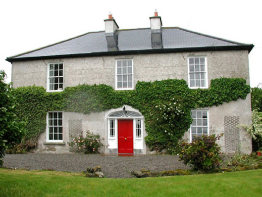 Barnfield Housefarm house · 362 yd
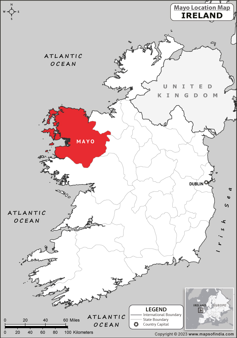 IndicatedFairy fort / earthen ringfort · 596 yd
 Enclosure in CorroyEnclosure · 998 yd
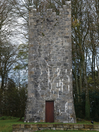 Mount Falconbuilding misc · 1518 yd
 Gull IslandIslet · 1610 yd
 Castle (in ruins)Castle, unclassified · 1647 yd
 Cloghans CastleCastle, tower house · 1.4 mi
 Battle of Ballinabattle · 4.3 mi
 Roe IslandIslet · 4.3 miHumbert MonumentMemorial · 4.4 mi
 Drummin ForestForest · 4.7 mi
 Lough CullinViewpoint · 4.8 mi