What is recorded here
Hot water hissed through burnt stone while people waited beside the track in Gleninsheen. The Burren wind carried steam across the karst, marking the field as a place of cleaning, cooking or ritual. A farm road later cut through the pit, reducing the fulacht fia to a shallow line of ash and broken stone. What was lost is easier to imagine than to measure, but the heat and purpose remain written in the ground.
On an elevated area of exposed karst and some grass cover with good views to the S and within a multiperiod field system (CL005-227004-). Listed as a cairn in the RMP (1996) and marked on Tim Robinson’s map of the Burren (1977) as a cairn. A fulacht fia heavily truncated by a farm track. The site is legible as a linear spread (L 11m; Wth 8m; D 0.1-0.15m) of burnt stone and ash flanking the track.
Compiled by: Mary Tunney and Eve Campbell
Date of upload: 20 October 2025
The monument record does not grant public access. Check the route and ask the landowner before entering private land.
- What survives
- Recorded monument
Places near here
 IndicatedEnclosure · 422 yd
 Gleninsheen CaherFairy fort / stone ringfort · 565 yd
 Gleninshing portal tombHeritage attraction · 1154 yd
 Gleninshing tombHeritage attraction · 1546 yd
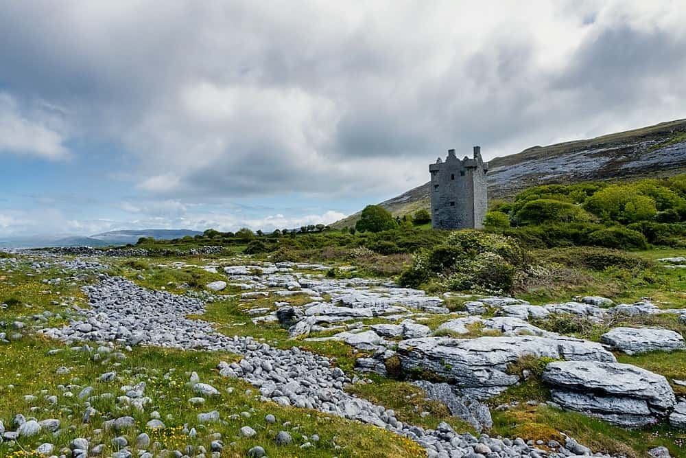
 Gleansleade Castle (in ruins)Castle, tower house · 1.2 mi
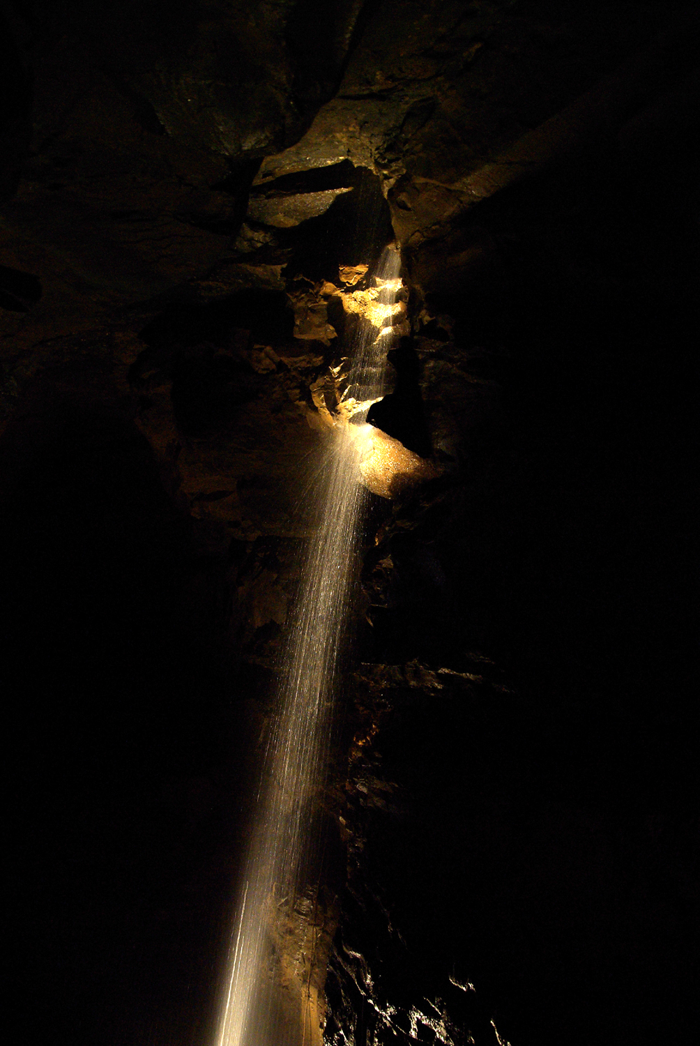 Aillwee CaveCave · 1.2 mi
 Aillwee Cave Visitor Centreheritage centre/interpretative centre · 1.3 mi
 PoulnabroneMemorial · 1.5 mi
 The Portal TombVisitor information · 1.6 mi
 Poulnabrone - Burren GeositeVisitor information · 1.7 mi
 Gregans Castlehouse · 1.9 mi
 Gregan CastleCastle · 2.1 mi