What is recorded here
On a narrow terrace (Wth 20–30m) of a N-facing slope, 10m ENE from a spring at the foot of Cappanawalla hill, c. 500m S of the foreshore. Depicted on Robison’s map (1977). A classic horseshoe-shaped fulacht fia (16m NW–SE x 13.7m NE–SW; max. H 1.7m) opening to the WSW. Two large boulders at SW and WSW delimit the trough area (5.8m NW–SE x 5.3m NE–SW).
Compiled by: Mary Tunney and Ros Ó Maoldúin
Date of upload: 25 November 2020
The monument record does not grant public access. Check the route and ask the landowner before entering private land.
- What survives
- Recorded monument
Places near here
 Grave YardGraveyard · 356 yd
 Gleninagh CastleCastle · 566 yd
 TobercornanHoly well · 633 yd
 CappanawallaMountain / peak · 1665 yd
 Rine PointHeadland · 1.7 mi
 Ballyvaghan Castle (in ruins)Castle, unclassified · 2.4 mi
 Formoyle R.C. ChapelChurch · 2.4 mi
 J.M. Mooney and Sonshouse · 2.5 mi
 Black HeadHeadland · 2.9 mi
 Fanore BeachBeach / strand · 3.7 mi
 Bird Of Prey CentreHeritage attraction · 3.8 mi
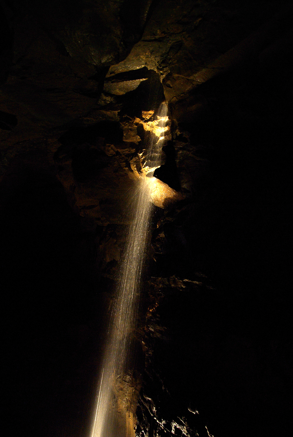 Aillwee CaveCave · 3.9 mi