
What is recorded here
Tobercornan is a holy well in County Clare where a natural spring fills a partially quarried rock pool inside a square Gothic Revival wellhouse. The building uses dressed limestone, corner pinnacles and a pointed arch, making the water seem kept rather than merely found. Its name may honour a person called Cornan or point to pennywort, while the Burren map also calls it Pinnacle Well. Either way, the place still asks people to look beneath its strange stones for the reason the water was worth keeping.
On the roadside with higher rocky ground, the source of the spring, rising immediately to S. Indicated and named ‘Tobercornan’ on the 1842 and 1915 OS 6-inch maps and named ‘Pinnacle Well’ and ‘Tobar Chornáin’ on Robinson’s map of the Burren (1977). A partially quarried rock pool (1.5m N–S x 1.2m E–W; D 0.2m) fed by a natural spring and enclosed in a square 19th-century Gothic Revival single-bay wellhouse. The wellhouse is built from dressed limestone blocks and has projecting corner buttresses capped with pinnacles. The roof is of corbelled rubble stone with dressed stone gable copings (NIAH). The well is entered over a small blocking stone and through a pointed-arched doorway in N wall from where three steps lead down to water level. Cunningham (1980, 36) noted that the name could refer to the Irish word for Pennywort (a plant) or to a person named ‘Cornan’.
The following images have been uploaded:
CL002-010001-_01.jpg View from N
CL002-010002-_02.jpg View from W
Compiled by: Mary Tunney and Ros Ó Maoldúin
Date of upload: 1 December 2020
Linked to Saint Cornan, an early Irish saint associated with several sites in the midlands, the well is traditionally visited for its healing properties, particularly for eye ailments and general wellness. The name "Tobar Chornáin" (Well of Cornan) reflects its historical and devotional connection to the saint, with such wells often being sites of pilgrimage and seasonal rituals in pre-modern Ireland.
The monument record does not grant public access. Check the route and ask the landowner before entering private land.
- What survives
- Recorded monument
Places near here
 Grave YardGraveyard · 918 yd
 Gleninagh CastleCastle · 1018 yd
 CappanawallaMountain / peak · 1606 yd
 IndicatedEnclosure · 1.1 mi
 Rine PointHeadland · 1.4 mi
 Ballyvaghan Castle (in ruins)Castle, unclassified · 2.0 mi
 J.M. Mooney and Sonshouse · 2.2 mi
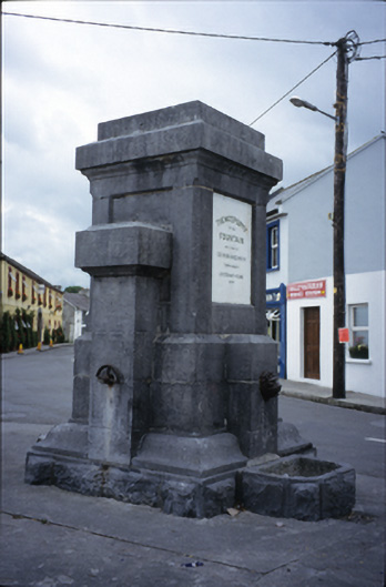 Ballyvaghan Fountainfountain · 2.2 mi
 Black HeadHeadland · 3.2 mi
 Bird Of Prey CentreHeritage attraction · 3.5 mi
 Aillwee CaveCave · 3.7 mi
 Fanore BeachBeach / strand · 4.0 mi
Other information
Photo: The Banner · CC BY-SA 3.0