What is recorded here
Situated in enclosed land on the flat bottom of a drained peat basin at southern foot of Knocknaveen (known locally as ‘Glan Hill’). The fulacht fia lies c. 47m SSE of MA085-016005-. The field in which it lies was until recently (c. 1989) mantled in tillage ridges but has been drained and ploughed, exposing a number of fulachtaí fia. Two others (MA085-016003-, MA085-016004-) lie 28.5m to WSW and 46m to SW, respectively. The fulacht fia comprises a scatter of heat-fractured stone (N–S c. 5m), bleached to a grey-white colour by rainfall, was visible on surface of the recently ploughed field.
The above description is derived from: New Survey of Clare Island. Volume 5: Archaeology. Edited by Paul Gosling, Conleth Manning and John Waddell. (Royal Irish Academy, Dublin. 2007). In certain instances the entries have been revised and updated.
Date of upload: 29 November 2018
The monument record does not grant public access. Check the route and ask the landowner before entering private land.
- What survives
- Recorded monument
Places near here
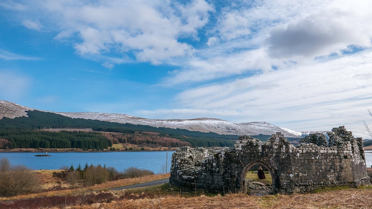 Doon CloakPromontory fort, coastal · 878 yd
 Megalithic tombArchaeological place · 1264 yd
 AbbeyReligious house, Cistercian monks · 1371 yd
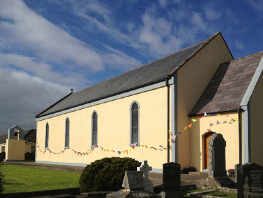 Catholic Church of the Sacred Heartchurch/chapel · 1400 yd
 Granuaile's CastleCastle · 1468 yd
 Clare IslandIsland · 1.4 mi
 ScalpatruceMountain / peak · 1.5 mi
 KnockmoreMountain / peak · 2.2 mi
 Turloughbeg StrandBeach / strand · 3.8 mi
 Carrownisky BeachBeach / strand · 4.4 mi
 Acaill BheagIsland · 4.8 mi
 Kildavnet CastleCastle, tower house · 5.9 mi