What is recorded here
In tillage, on W side of stream. Spread of burnt material (12m N-S; 7m E-W) c. 30m NE of another fulacht fiadh (CO123-013002-).
The above description is derived from the published 'Archaeological Inventory of County Cork. Volume 1: West Cork' (Dublin: Stationery Office, 1992). In certain instances the entries have been revised and updated in the light of recent research.
Date of upload/revision: 14 January 2009
The monument record does not grant public access. Check the route and ask the landowner before entering private land.
- What survives
- Recorded monument
Places near here
 Mass-rock in BarleyfieldMass-rock · 892 yd
 Site of Barleyfield R.C. ChapelChurch · 1.2 mi
 farmyard complexfarmyard complex · 1.2 mi
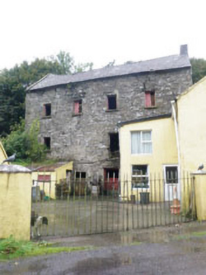 Barleyfield Millmill (water) · 1.3 mi
 Burrane Castle (Site of)Castle, unclassified · 1.7 mi
 Argideen Valley trailVisitor information · 2.1 mi
 Johnny Sheila MurphyMemorial · 2.1 mi
 Argideen Loop WalksVisitor information · 2.6 mi
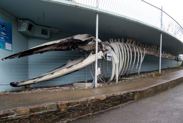 Kilbrittain WhaleHeritage attraction · 2.6 mi
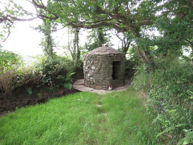 Trinity WellSpring · 2.7 mi
 Quay WoodWood · 3.2 mi
 Flaxfort StrandBeach / strand · 3.3 mi