What is recorded here
Three thousand years of heat still mark the soil where Forgney and Newcastle divide. People heated water in stone troughs beside the stream, perhaps cooking food or easing aching muscles after rain. They left no pots or jewels behind, only charcoal and fractured rock. The forest grew back, hiding the work of hands that shaped life at the edge of two townlands.
Fulacht fia uncovered and fully excavated by Jonathan King under licence No. 16E0446 during development works of the Center Parcs Leisure development. In area of coniferous plantation and situated on a stream or drain running NE-SW marking the townland boundary between Newcastle and Forgney. Site identified as a roughly oval-shaped spread of burnt material (dims. 12m x 8m) consisting of charcoal-rich deposits and heart shattered stone. Excavation of the material revealed two pits or troughs beneath the spread of burnt material. One roughly oval-shaped pit or trough measured 2.3m x 1.2m with a second small pit or trough measuring 1.8m x 1.6m x 0.47m deep. No finds were uncovered and the feature was dated to the Late Bronze Age.
Compiled by: Caimin O'Brien based on details kindly provided by Jonathan King
Date of upload: 25 February 2019
The monument record does not grant public access. Check the route and ask the landowner before entering private land.
- What survives
- Recorded monument
Places near here
 Guest ServicesVisitor information · 585 yd
 Craft WorkshopHeritage attraction · 607 yd
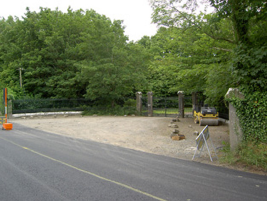 Newcastlegates/railings/walls · 607 yd
 Saint Munis's Church (Forgney)church/chapel · 613 yd
 Burnt spread in NewcastleBurnt spread · 679 yd
 Fulacht fia in NewcastleFulacht fia · 877 yd
 Target WoodWood · 1.0 mi
 Goldsmith Birthplace, PallasVisitor information · 1.1 mi
 Newcastle WoodsForest · 1.3 mi
 Ballymulvey Ho.Castle, unclassified · 1.8 mi
 Sessile OakSessile Oak · 2.2 mi
 Not locatedCastle, unclassified · 3.5 mi