What is recorded here
Oval spread of burnt material (15m N-S; 12m E-W) in ploughed field. Stream to W; second fulacht fiadh 16m to NNE (CO109-02801). Spread of charred stones, some fused together, occurs to N.
The above description is derived from the published 'Archaeological Inventory of County Cork. Volume 1: West Cork' (Dublin: Stationery Office, 1992). In certain instances the entries have been revised and updated in the light of recent research.
Date of upload/revision: 14 January 2009
The monument record does not grant public access. Check the route and ask the landowner before entering private land.
- What survives
- Recorded monument
Places near here
 Fulacht fia in FarrannashesheryFulacht fia · 11 yd
 Rosevillehouse · 200 yd
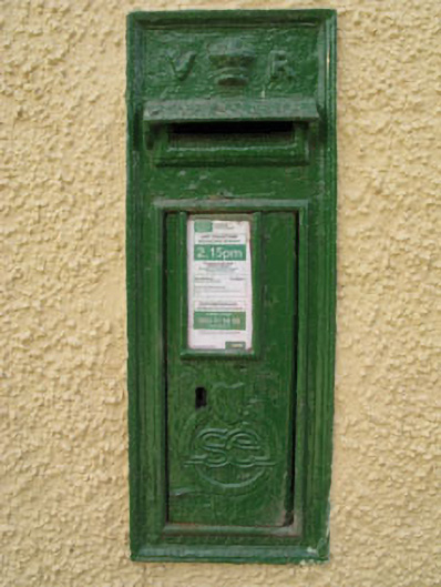 post boxpost box · 558 yd
 Man-made underground passage in Kilcolman (kinalmeaky By.)Man-made underground passage · 876 yd
 The GlenWood · 1.8 mi
 Castle DerryCastle · 1.8 mi
 Tobar MacloonaboySpring · 2.0 mi
 Corran HillMountain / peak · 3.1 mi
 Irish National Forestry FoundationNature reserve · 4.2 mi
 Castle RockNamed rock · 4.4 mi
 Green HillMountain / peak · 4.7 mi
 Fahanacowley Castle (Site of)Castle, unclassified · 4.9 mi