What is recorded here
Located in lowlying flat, reclaimed pastureland. This fulacht fia was discovered during archaeological monitoring of the Lough Mask Regional Water Supply Scheme (2001-2002) and was subsequently fully excavated (01E0966) (Guinan 2015, 90-99; 101-103, Fallakeeran I). It had been heavily disturbed in the recent past. It consisted of a low subcircular mound (3.5m N–S; 5m E–W; max. D 0.4m) of burnt sandstone in a charcoal-rich matrix, which rested on a layer of peat. A possible trough, consisting of a subcircular cut (1m by 1.2m; D 0.2m) with a shallow concave profile, was found beneath the main body of the mound. A second possible trough, subcircular (0.95m by 0.8m) with steep sides and a flat base, was found under an isolated deposit of burnt stone, 7m to SE. It was truncated on the SE edge by a modern water pipe. Eight flint flakes and blades, a chert core-scarper, and three fragments of animal bones (two cattle, one possible pig) were recovered. A charcoal sample submitted for radiocarbon analysis produced a date (3925 +/-45 BP (2500-2280 BC) indicating activity at the site in the Late Neolithic/Early Bronze Age. Another fulacht fia (MA112-113----) was located 150m to SW. (Guinan 2015, 90-99; 101-103).
Compiled by: Jane O’ Shaughnessy
Date of upload: 3 March 2016
The monument record does not grant public access. Check the route and ask the landowner before entering private land.
- What survives
- Recorded monument
Places near here
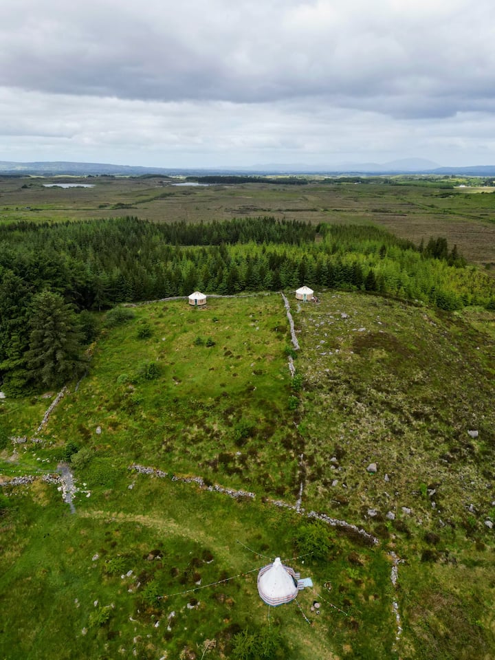 Enclosure in KilvineEnclosure · 1148 yd
 Esker FortEnclosure · 1192 yd
 CastleCastle, unclassified · 1.5 mi
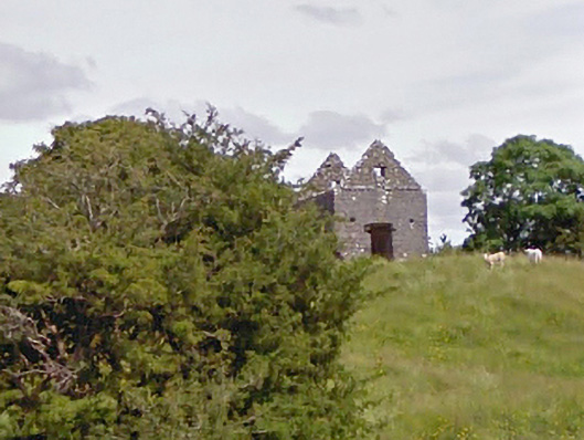 aviary/dovecote/pigeon houseaviary/dovecote/pigeon house · 2.1 mi
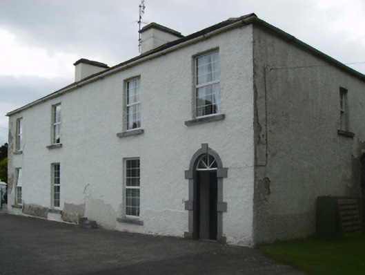 Cuillaun Housefarm house · 2.2 mi
 Castlekeel (in ruins)Castle, unclassified · 4.9 mi
 European ashEuropean ash · 10 mi
 European YewEuropean Yew · 11 mi
 Mass RockNamed rock · 12 mi
 IndicatedEnclosure · 1365 yd
 Conors FortFairy fort / earthen ringfort · 1465 yd
 LisbrackFairy fort / earthen ringfort · 1.0 mi