What is recorded here
Situated on a slight E-facing slope that would have been at the W edge of Lagore Lough. Archaeological monitoring (18E0057: excavations.ie 2019:584) by Deirdre Murphy identified three burnt spreads (dims 2.35m x 2.3m; T 0.04m: 2.5m x 2.2m; T 0.25m: 6m x 4m; T 0.1m) that were part of a single burnt mound which was completely excavated under the same licence. The burnt mound material covered seven pits. Three were of similar form – oval (dims 1.1-1.6m x 1.05-1.16m; D 0.33- 0.49m) with straight sides and they retained water so they could have functioned as troughs. The other pits could be larger but were shallower (dims 1.2-2.76m x 1-2.2m; D 0.16-0.28m) and these, although all contained some burnt mound material, were drier. Three pieces of flint debitage and a core were recovered from these pits. (Murphy 2019, 13-15)
See the attached plan from Murphy (2019, fig. 7)
Compiled by: Michael Moore
Date of upload: 22 November 2021
The monument record does not grant public access. Check the route and ask the landowner before entering private land.
- What survives
- Recorded monument
Places near here
 Church (Site of)Church · 493 yd
 Ecclesiastical enclosure in DunshaughlinEcclesiastical enclosure · 503 yd
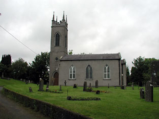 Saint Seachnall's Church (Dunshaughlin)church/chapel · 504 yd
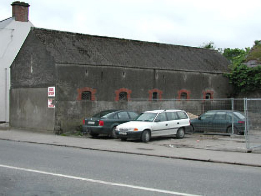 outbuildingoutbuilding · 574 yd
 Killeen CastleCastle, tower house · 2.9 mi
 Lemur WoodWood · 3.6 mi
 Emerald ParkHeritage attraction · 3.7 mi
 Lismahon 1798 MemorialMonument · 3.7 mi
 Laurel WoodsWood · 3.7 mi
 Dunsany CastleCastle, unclassified · 3.9 mi
 Battle of Tara Hillbattle · 5.4 mi
 Battle of Tara (Ireland)Major battlefield · 5.4 mi