What is recorded here
Hot stones cracked and hissed in marsh water while people watched Tralee Bay appear through steam. The long pit and rounded mound still hold that sudden heat on the lower foothills of the Stacks Mountains. To cook, clean or gather beside the vessel is to join its ordinary life, not to decorate forgotten rock.
'These mounds are situated on the lower foothills of the Stacks Mountains with panoramic views to east through south to Tralee Bay to the south west. The first mound [KE029-232----] is situated in very marshy land abutting a field wall, and consists of a sub-rectangular depression and a low mound. The depression measures 12.5m in length, is 4.60m in width and has an average depth of 0.55m. The associated mound is oval in plan measuring 14m N-S, 10m E-W and 0,75m in height. Subsequent excavation (97E0022) uncovered a probable trough pit within the depression. Immediately to the west of this depression is a low mound [KE029-233----] 6.70m in diameter and has an average height of 0.50m. While not conforming to the exact morphology of the classical fulacht fiadh type, it could also be such a site. This mound had been removed prior to excavation under license 97E0022, however a spread of fire shattered stone 4m in diameter was noted.'
Description from ‘The Prehistoric Settlement of the Lee Valley, Tralee, Co. Kerry; A Landscape Perspective’ by Michael Connolly. PhD Thesis UCC 2008
Date of upload: 22 June 2012
The monument record does not grant public access. Check the route and ask the landowner before entering private land.
- What survives
- Recorded monument
Places near here
 Enclosure in Muing WestEnclosure · 607 yd
 Enclosure in BallybegganEnclosure · 778 yd
 CastleCastle, tower house · 1092 yd
 Monterey PineMonterey Pine · 1203 yd
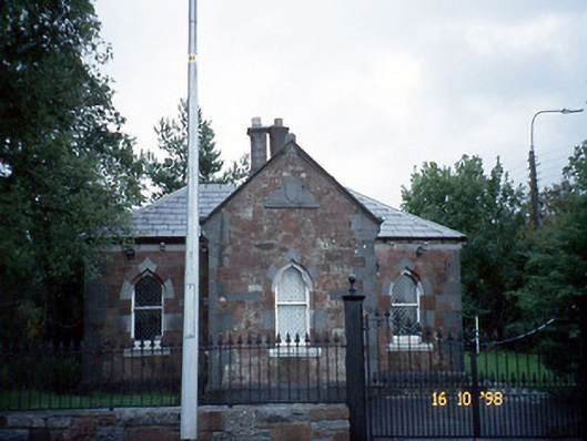 Collis-Sandes Housegate lodge · 1276 yd
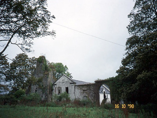 Woodlawnhouse · 1284 yd
 Crimea Cannon and War MemorialMonument · 1.8 mi
 The DicemanMemorial · 1.9 mi
 John Hurley GalleryGallery · 1.9 mi
 Castle MacallistrumCastle, unclassified · 1.9 mi
 Kerry County MuseumMuseum · 2.0 mi
 Tralee Bay Wetlands Eco and Activity ParkNature reserve · 2.5 mi