
What is recorded here
In level pasture 10m E of a stream that marks the townland boundary with Ballyea and 125m S of fulacht fia (LI022-032001-). Identified by Sarah McCutcheon as Site B during archaeological monitoring (License 04E0427) associated with the Fedamore Sewerage Scheme (McCutcheon 2002, 191). The results of her excavation were summarised as follows; ‘The burnt spread at Site B was irregular in plan, measuring 9m north-east/south-west x 8m, with an average depth of 0.15m, within the excavated area. The spread extended beyond the limit of excavation to the east and west. The burnt material was, however, tapering out towards the western limit of excavation. A shallow, truncated pit associated with the spread may have originally functioned as a trough. This feature was oval in plan and unlined. It measured 1.3m north–south x 1m x 0.11m (depth). A layer of compact, grey-brown subsoil covered the site. A piece of struck flint was excavated from the subsoil. This layer and the burnt spread were both cut by two modern land drains’(www.excavations.ie 2000, Site No. 583). No surface remains visible when visited by the ASI in 2000.
See attached Google Earth orthoimage 25/03/2017
Compiled by: Martin Fitzpatrick
Date of upload: 7 August 2020
The monument record does not grant public access. Check the route and ask the landowner before entering private land.
- What survives
- Recorded monument
Places near here
 Fulacht fia in DrominycarraFulacht fia · 145 yd
 Enclosure in DrominycarraEnclosure · 722 yd
 Glenogra Bridgebridge · 825 yd
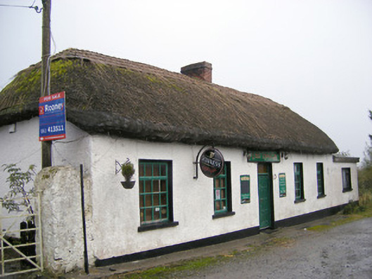 The Thatchhouse · 1153 yd
 Glenogra Castle (in ruins)Castle, Anglo-Norman masonry castle · 1395 yd
 Bawn in SkoolhillBawn · 1.5 mi
 Skool HillMountain / peak · 2.0 mi
 Banoge's WellSpring · 2.1 mi
 Lough GurVisitor information · 2.6 mi
 Grange Stone CircleArchaeological place · 2.7 mi
 Villiers WellSpring · 2.8 mi
 European ashEuropean ash · 5.0 mi
Other information
Photo: Credit not shown in the picture search · Rights wording not checked; contact us if this picture should be removed