What is recorded here
In rough hill grazing, on a SE-facing slope. A kidney-shaped mound (10.2m N-S; 5.6m E-W; H 0.7m) of heat-shattered stones and charcoal-enriched soil. The opening (Wth 2m) faces W towards a marshy area. A network of field boundaries (CO115-119001-) lies c. 20m to the N and E of the fulacht fia.
The above description is derived from 'The Archaeological Inventory of County Cork. Volume 5' (Dublin: Stationery Office, 2009).
Date of upload: 22 December 2009
The monument record does not grant public access. Check the route and ask the landowner before entering private land.
- What survives
- Recorded monument
Places near here
 Burnt mound in Derreenataggart EastBurnt mound · 139 yd
 Boulder-burial in Derreenataggart EastBoulder-burial · 450 yd
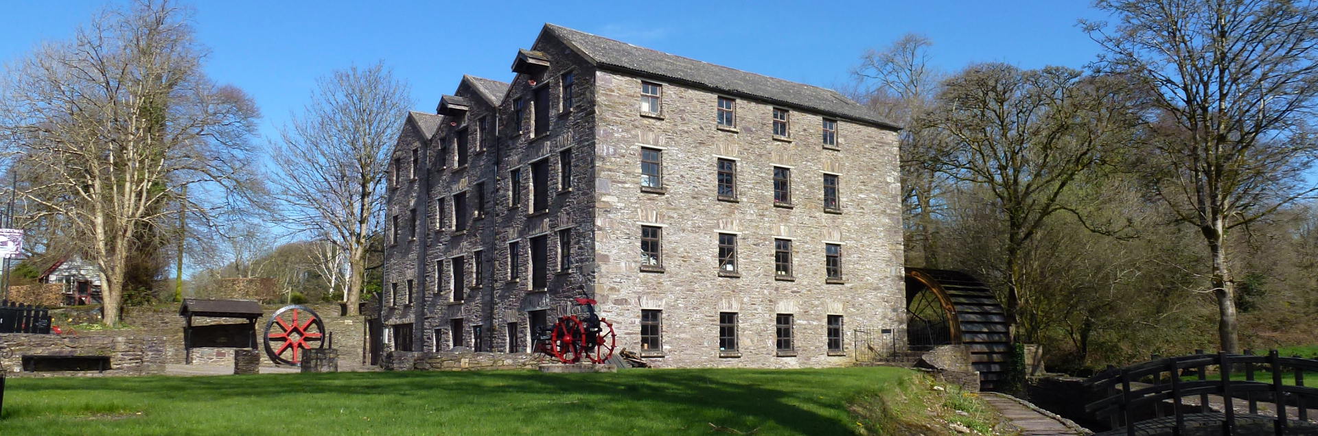 Tuck MillMill, fulling · 618 yd
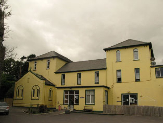 Harbour Lodgeconvent/nunnery · 1132 yd
 Berehaven Battalion MemorialMemorial · 1207 yd
 Sarah Walker GalleryGallery · 1235 yd
 Dinish IslandIslet · 1.1 mi
 Eagle HillMountain / peak · 1.4 mi
 Sheep IslandsIslet · 1.6 mi
 Castle (in Ruins)Castle, tower house · 1.7 mi
 Siege of Dunboysiege · 1.8 mi
 Burial ground in DerrycreeveenBurial ground · 1.8 mi