
What is recorded here
In rough hill pasture, on a level area on the SE-facing slopes of Miskish Mountain. An oval mound (6m NE-SW; 4.5m NW-SE; H 0.35m) of heat-shattered stones and charcoal-enriched soil, mostly covered by gorse bushes.
The above description is derived from 'The Archaeological Inventory of County Cork. Volume 5' (Dublin: Stationery Office, 2009).
Date of upload: 22 December 2009
Burnt mound in Derreenataggart East is a Bronze Age ritual or industrial site, characterized by a mound of heat-shattered stones and charcoal. Its presence suggests ancient activity related to feasting, metalworking, or ceremonial practices in the region.
The monument record does not grant public access. Check the route and ask the landowner before entering private land.
- What survives
- Recorded monument
Places near here
 Field boundary in Derreenataggart EastField boundary · 165 yd
 Boulder-burial in Derreenataggart EastBoulder-burial · 502 yd
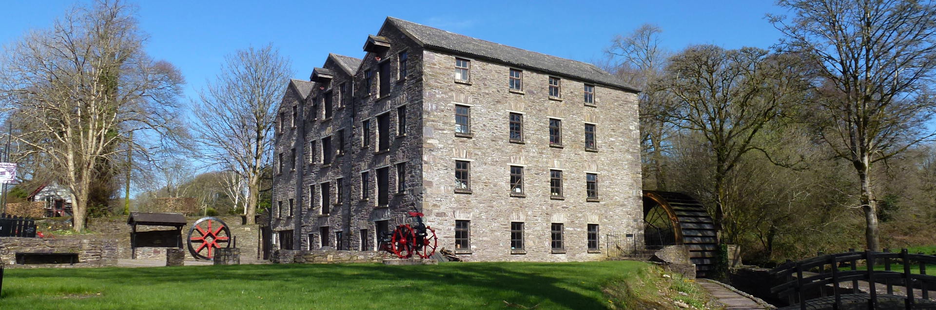 Tuck MillMill, fulling · 686 yd
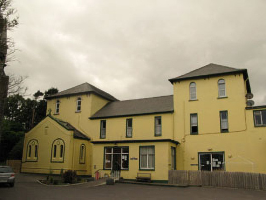 Harbour Lodgeconvent/nunnery · 1118 yd
 Berehaven Battalion MemorialMemorial · 1214 yd
 Sarah Walker GalleryGallery · 1266 yd
 Dinish IslandIslet · 1.1 mi
 Eagle HillMountain / peak · 1.3 mi
 Sheep IslandsIslet · 1.6 mi
 Burial ground in DerrycreeveenBurial ground · 1.8 mi
 Castle (in Ruins)Castle, tower house · 1.8 mi
 Siege of Dunboysiege · 1.8 mi
Other information
Photo: Credit not shown in the picture search · Rights wording not checked; contact us if this picture should be removed