
What is recorded here
In rough grazing, on blanket bog, on a SE-facing slope of Miskish Mountain. A stretch of a relict stone field boundary (T c. 0.65m; H 0.6m) commences at a modern field wall at the SW and extends (L c. 30m) in a general NE direction. From here it curves to the E and SE for a distance of c. 40m and then terminates. Many of the visible stones in the relict wall are set at right angles to the line of the wall. The height of the relict wall varies according to the depth of the bog. Gaps occurring along the wall range in width from c. 1m to 4m.
The above description is derived from 'The Archaeological Inventory of County Cork. Volume 5' (Dublin: Stationery Office, 2009).
Date of upload: 22 December 2009
The monument record does not grant public access. Check the route and ask the landowner before entering private land.
- What survives
- Recorded monument
Places near here
 Burnt mound in Derreenataggart EastBurnt mound · 165 yd
 Boulder-burial in Derreenataggart EastBoulder-burial · 337 yd
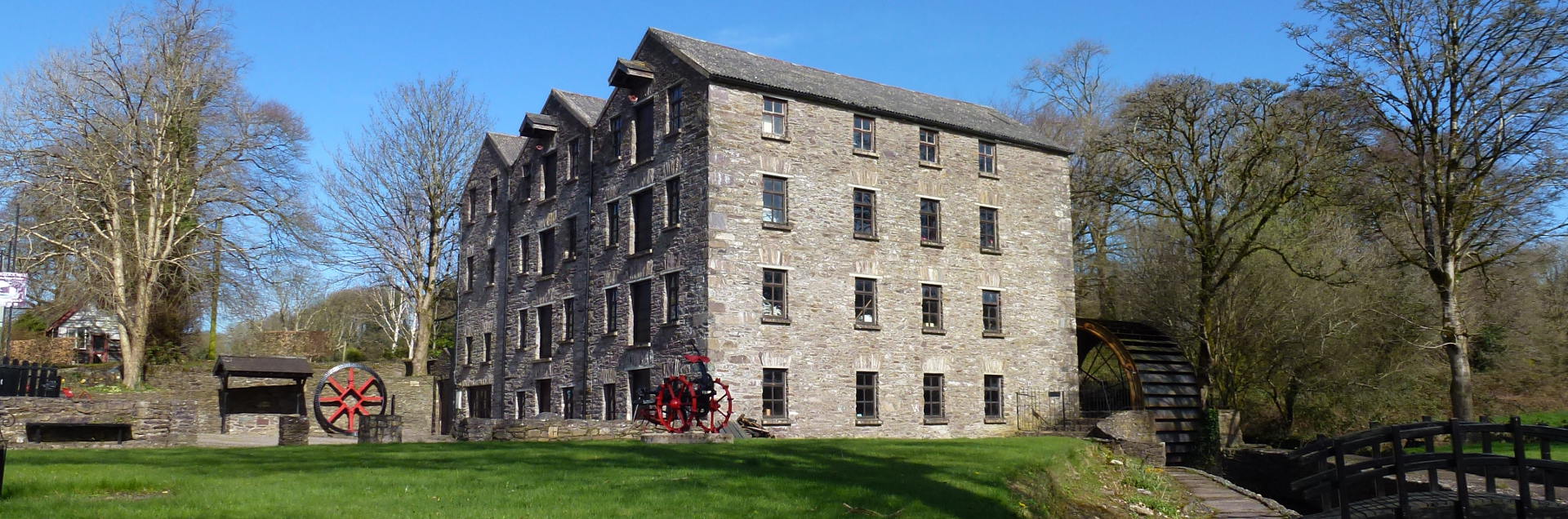 Tuck MillMill, fulling · 779 yd
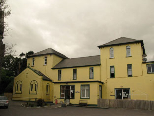 Harbour Lodgeconvent/nunnery · 1270 yd
 Berehaven Battalion MemorialMemorial · 1355 yd
 Sarah Walker GalleryGallery · 1391 yd
 Dinish IslandIslet · 1.2 mi
 Eagle HillMountain / peak · 1.3 mi
 Sheep IslandsIslet · 1.7 mi
 Miskish MountainMountain / peak · 1.8 mi
 Castle (in Ruins)Castle, tower house · 1.8 mi
 Siege of Dunboysiege · 1.8 mi
Other information
Photo: Credit not shown in the picture search · Rights wording not checked; contact us if this picture should be removed