What is recorded here
No visible chamber or chamber-like feature is present at this site.
In low-lying marshy ground alongside a small stream that flows W, with higher ground on all sides, but with views to the NW. A fulacht fia comprising a subcircular mound (15.3m N-S; 13.7m E-W; H 0.2m) with a subrectangular hollow toward its SW edge (4m N-S; 2.4m E-W; D 0.5m). To the E, an earthen lip (H 0.5m; Wth 2m) may form part of the monument or may be a natural feature. The mound is covered in long grass, nettles and some scattered field stones. A ringfort (CL015-014----) lies c. 76m to the NW and a ring-barrow (CL015-019----) lies c. 113m to the ESE.
Compiled by: Mary Tunney and Eve Campbell
Date of upload: 29 October 2025
The monument record does not grant public access. Check the route and ask the landowner before entering private land.
- What survives
- Recorded monument
Places near here
 Enclosure in Derreen (kilshanny Ed)Enclosure · 506 yd
 Saint Augustine's Catholic Churchchurch/chapel · 596 yd
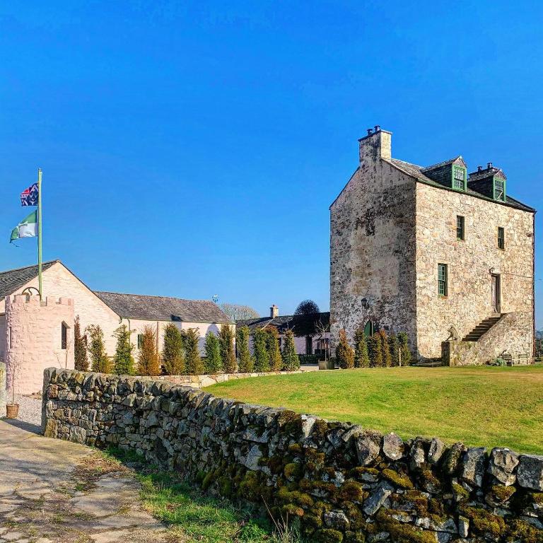 Ballaghboy FortArchaeological place · 659 yd
 Site of Tullamore CastleCastle, unclassified · 977 yd
 Kilshanny Church (in ruins)Religious house, Augustinian canons · 1317 yd
 Smithstown Castle (in ruins)Castle, tower house · 1.8 mi
 Kilmanahn GraveyardRuins · 2.4 mi
 Famine MemorialMemorial · 2.7 mi
 Lahinch BeachBeach / strand · 3.4 mi
 Doolin Road SinkCave · 3.7 mi
 Ballyteigue Nature ReserveNature reserve · 3.7 mi
 Burren Centre KilfenoraVisitor information · 3.8 mi