What is recorded here
Ten metres south of a rath, three fulachtaí fia are scattered across a gentle slope in Curraghcloonabro East. The nearest is a low, horseshoe-shaped mound of heat-shattered stones and charcoal-enriched soil, its waterlogged opening facing northeast. People may have gathered there to heat water for cooking, cleaning or ritual, while the other two sites waited thirty-eight metres south and eighty metres northwest.
In pasture, on a gentle WSW-facing slope and c. 10m S of a rath (CO007-013002-). A low, grass-covered, horseshoe-shaped mound (18m NW-SE; 15m NE-SW, H 0.2m) of heat-shattered stones and charcoal-enriched soil. The waterlogged opening (Wth 4m) faces NE. Two other fulachtaí fia (CO007-172----, CO007-013001-) lie c. 38m to the S and c. 80m to the NW, respectively.
The above description is derived from 'The Archaeological Inventory of County Cork. Volume 5' (Dublin: Stationery Office, 2009).
Date of upload: 22 December 2009
The monument record does not grant public access. Check the route and ask the landowner before entering private land.
- What survives
- Recorded monument
Places near here
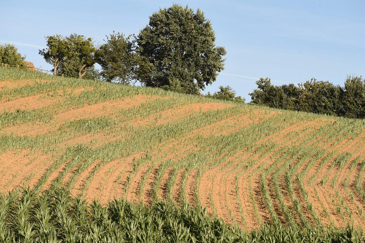 Burnt spread in Curraghcloonabro EastBurnt spread · 43 yd
 Fulacht fia in Ardglass (orrery and Kilmore By., Shandrum Par.)Fulacht fia · 1516 yd
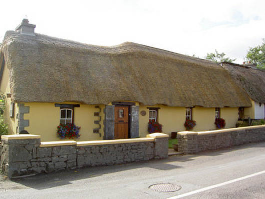 Bridge Househouse · 1.1 mi
 Cill ma Guaire (in Ruins)Church · 1.1 mi
 Castle (Site of)Castle, unclassified · 1.6 mi
 Castle (in Ruins)Castle, Anglo-Norman masonry castle · 3.1 mi
 Windmill HillMountain / peak · 3.2 mi
 Ballyhoura WayWalking route · 4.3 mi
 Battle of LiscarrollMajor battlefield · 4.5 mi
 Holy Cross CemeteryGraveyard · 4.7 mi
 Churchtown TrailsVisitor information · 5.3 mi
 National Co-op MuseumMuseum · 5.5 mi