What is recorded here
At the N edge of the old course of the Dooyertha River. This possible fulacht fia is described by Cody (1989, 160, no. 18) as a roughly circular spread of black soil and burnt stones (diam. c. 4m). It appeared as if a mound or small rise had been removed a short time previously.
Compiled by: Galway Archaeological Survey, UCG
Date of upload: 25 November 2019
The monument record does not grant public access. Check the route and ask the landowner before entering private land.
- What survives
- Recorded monument
Places near here
 MoteCastle, motte and bailey · 401 yd
 Enclosure in OldcastleEnclosure · 435 yd
 IndicatedBawn · 675 yd
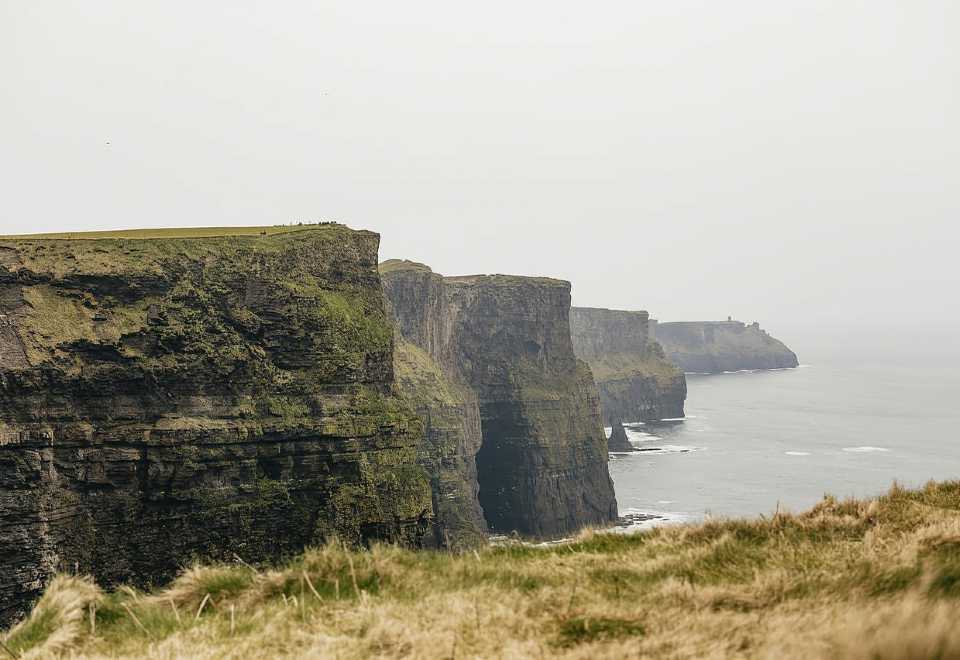 Curraghmore FortFairy fort / earthen ringfort · 840 yd
 Ratty's Bridgebridge · 1221 yd
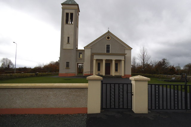 Catholic Church of the Immaculate Conceptionchurch/chapel · 1691 yd
 Moyard WoodWood · 1.7 mi
 Athenry AbbeyHeritage attraction · 3.9 mi
 Athenry CastleHeritage attraction · 4.0 mi
 Horse-chestnutHorse-chestnut · 4.2 mi
 First Battle of Athenrybattle · 4.5 mi
 Blake's IslandIslet · 5.9 mi