What is recorded here
This site was excavated (E3493) during 2005 as Site 31 and 32 of the N11 Gorey to Arklow link. Situated in a low-lying area with a N-S stream immediately to the W. Several surface deposits of broken and burnt stone material were on the N bank of an E-W palaeo-channel and overaly a pit or trough (diam. 1.8m) at the N edge of the channel filled with silts and burnt stone which extended around it (dims 4m x 3m). There is a second, smaller pit c. 3.5m to the W. The mound material overlay an area with stake-holes that appears to have been outside the burnt mound area. (McCullough 2008)
Compiled by: Michael Moore
Date of upload: 16 March, 2012
The monument record does not grant public access. Check the route and ask the landowner before entering private land.
- What survives
- Recorded monument
Places near here
 IndicatedFairy fort / ringfort · 255 yd
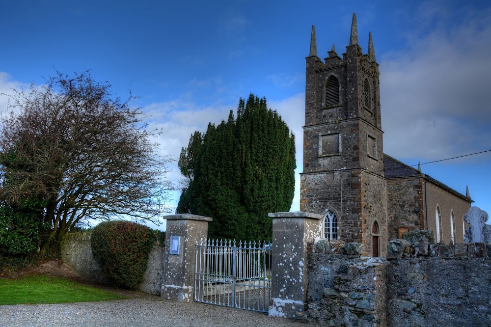 Kilmakilloge Church (in ruins)Church · 500 yd
 Kia Ora Mini FarmHeritage attraction · 810 yd
 Fulacht fia in BallyloughanFulacht fia · 1110 yd
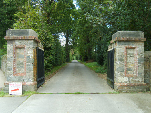 Clonattin Housegates/railings/walls · 1486 yd
 Market HouseHeritage attraction · 1.5 mi
 1798 MonumentMemorial · 1.9 mi
 Banoge HillMountain / peak · 2.1 mi
 Tara HillMountain / peak · 2.2 mi
 Holm OakHolm Oak · 2.2 mi
 CastleCastle, unclassified · 2.3 mi
 Duffcarrig Rocks BeachBeach / strand · 2.3 mi