What is recorded here
In lowlying rough grazing prone to flooding from Skaghard Lough to the NE. Indicated on Robinson's map of the Burren (1977). This fulacht fia comprises a U-shaped mound (12.6m N-S; 10m E-W; H 0.5-0.7m) which is open to the ESE and is composed of heat-shattered stones. The mound is fairly evenly proportioned with its N (Wth 6.8m) and S (Wth 4.8m) ‘arms’ of similar external height (0.6m). The subrectangular central area (2.4m E-W; 1.2m N-S) has a slight outer scarp (Wth 1.1m; ext. H 0.3m) on its open, ESE side. A later field wall, running NNE-SSW, appears to truncate or overlie the W edge of the mound. There is another fulacht fia (CL010-081----) c. 110m to the NNE.
See attached image: CL010-080----_01.JPG Monument viewed from SSW.
Compiled by: Gearóid Conroy and Conn Herriott
Date of upload: 11 May 2023
The monument record does not grant public access. Check the route and ask the landowner before entering private land.
- What survives
- Recorded monument
Places near here
 Enclosure in CarrownagoulEnclosure · 1022 yd
 Slieve RoeMountain / peak · 1502 yd
 Burren National ParkNature reserve · 1.3 mi
 Mullagh MoreMountain / peak · 1.3 mi
 R.C. Chapel (in ruins)Church · 1.4 mi
 IndicatedEnclosure · 1.8 mi
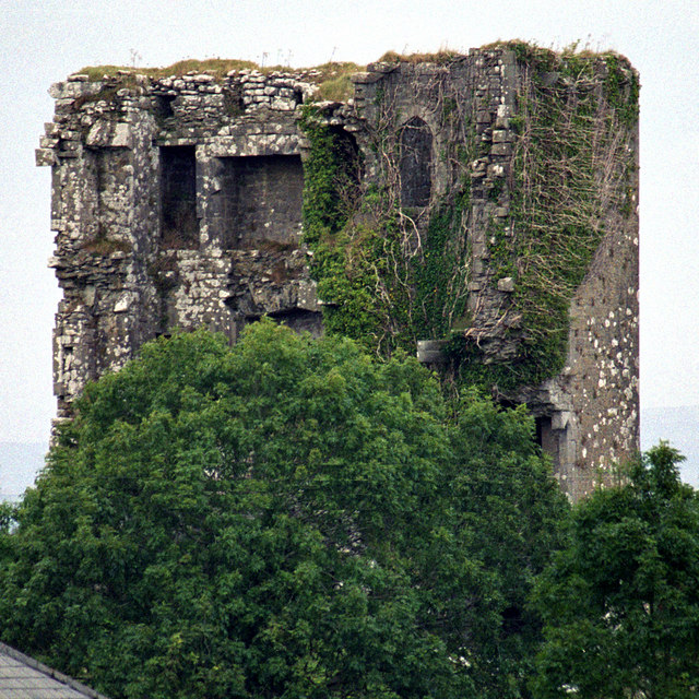 Kilkeedy Castle (in ruins)Castle, tower house · 1.9 mi
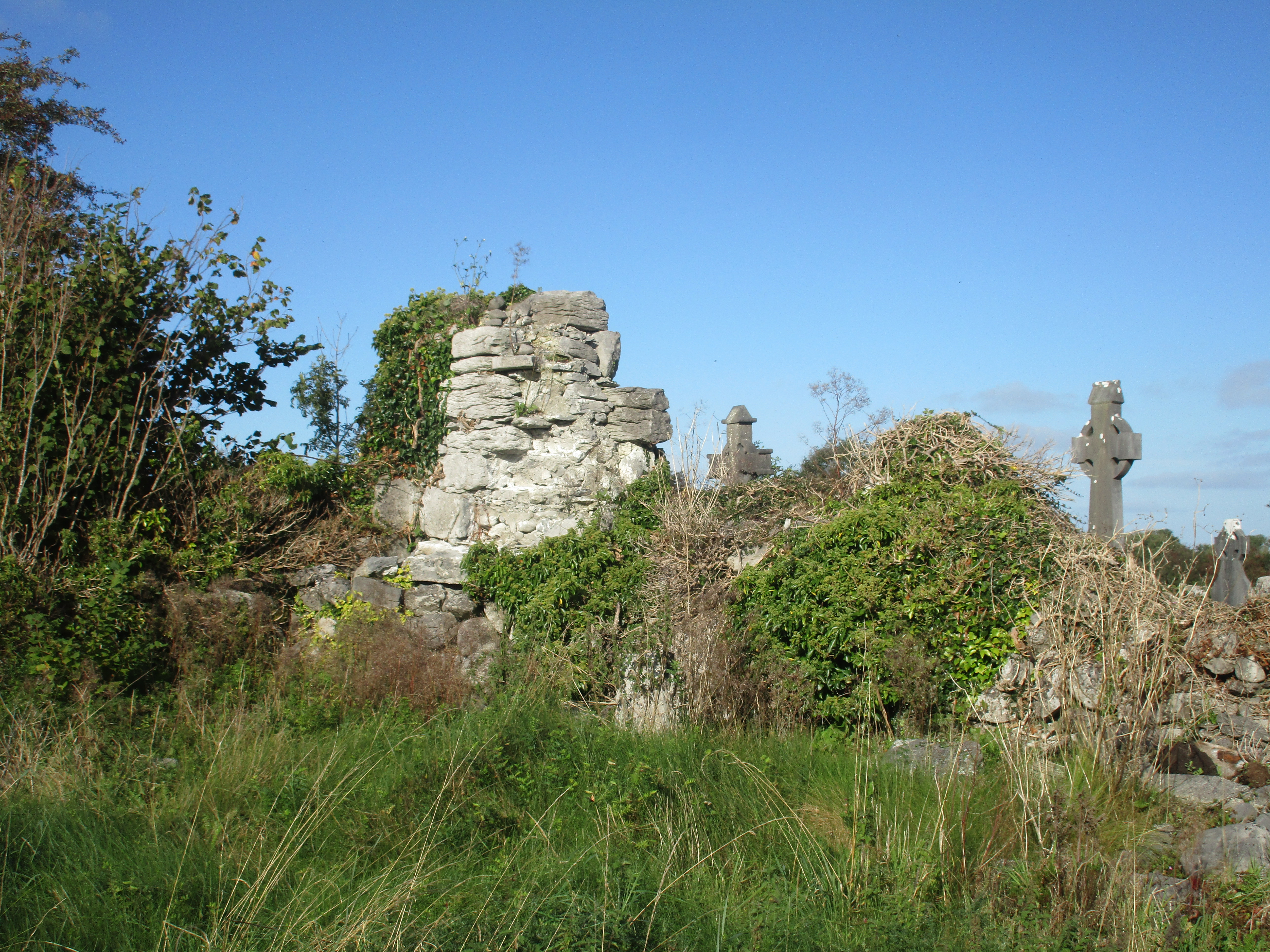 Church (in Ruins)Church · 2.0 mi
 Father Ted's HouseHeritage attraction · 2.3 mi
 Cloondooan Castle (in ruins)Castle, tower house · 2.3 mi
 Kilnaloone GraveyardArchaeological place · 2.8 mi
 Kilmacduagh Monastic SiteVisitor information · 4.3 mi