What is recorded here
Half a metre of black earth and shattered red stone still rises in the wet Kerry pasture, a cooking pit older than memory. It sits beside Tobar na Coróine, the holy well, as if food and prayer belonged in the same hand. cattle walk past it now, but someone once heated stones, dropped them into water and fed people beside that well.
Fulacht fia described by O'Hare (2000, 84) as follows; 'A large, irregularly shaped mound (22m N-S; c. 12m E-W) of black earth and shatter red stone is situated immediately to the south of a well [KE039-149----], probably the former holy well known as Tobar na Coróine. Situated in a field of wet pasture, the mound stands to a maximum height of c. 0.7m on the west. The field fence which was situated immediately to the west of it has been removed'.
Compiled by: Caimin O'Brien
Date of upload: 3 June 2022
This remains an important historical record, but the official description says the monument is no longer visible or has been destroyed. The monument record does not grant public access. Check the route and ask the landowner before entering private land.
- What survives
- No visible remains or recorded as destroyed
Places near here
 Enclosure in Ballyegan (trughanacmy By.)Enclosure · 478 yd
 Nohaval Church (in ruins)Church · 938 yd
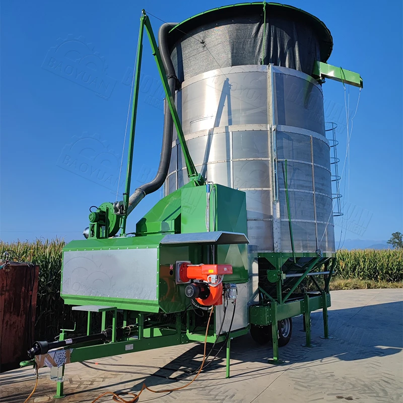 KilnKiln, corn-drying · 976 yd
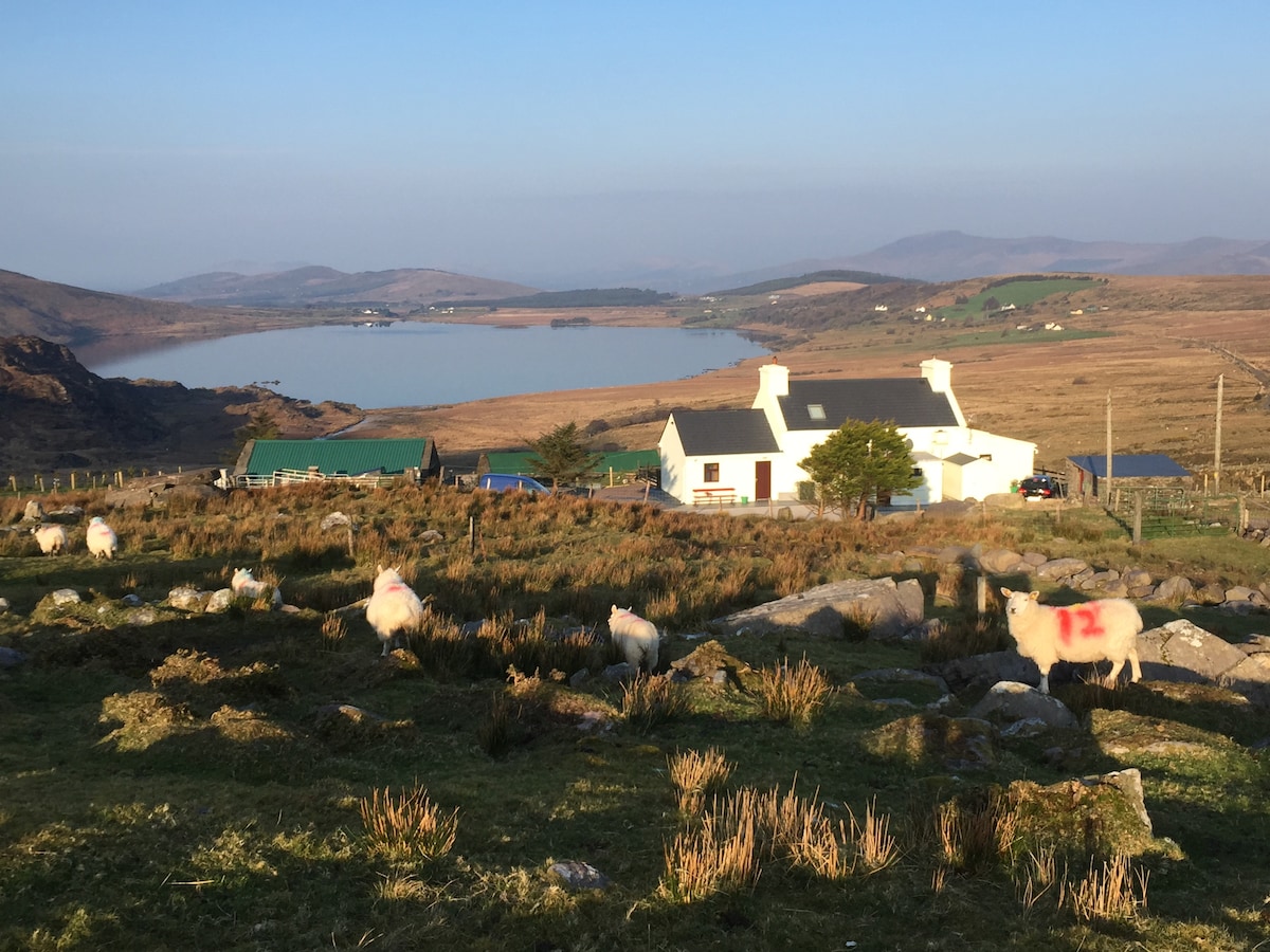 Hut site in Garraun MoreHut site · 1.1 mi
 Site of Rockfield Ho.Castle, unclassified · 1.5 mi
 (Site of) Desmond CastleCastle, unclassified · 1.8 mi
 PoulatouirtCave · 3.5 mi
 Poulclashcannon (blocked)Cave · 3.5 mi
 Common AlderCommon Alder · 4.5 mi
 Ballincollig HillMountain / peak · 4.8 mi
 Monument WoodWood · 5.0 mi
 Stack's MountainMountain / peak · 5.3 mi