What is recorded here
Located on the N bank of a stream, at the interface between an area of peat at N and drier ground to S. This fulacht fia was discovered during archaeological monitoring of the Lough Mask Regional Water Supply Scheme (2001-2002) and was subsequently fully excavated (01E0681) (Guinan 2015, 29-31; 42-51, Cloonbulban II). It consisted of a low irregular-shaped deposit (2.28m E–W; 2.96m N–S; D 0.02-0.06m) of heat-shattered sandstone in charcoal-rich soil, which had suffered disturbance in the modern era. A subcircular trough (0.96m N–S; 1.1m E–W; D 0.44m), with steep sides and a flat base, was cut into the underlying boulder clay. Fifteen chert artefacts were recovered. A charcoal sample submitted for radiocarbon analysis produced a date in the Late Neolithic period: 3946 +/-46 BP (2580-2335 BC). Another fulacht fia (MA102-60----) was located 25m to W. (Guinan 2015, 29-31; 42-51).
Compiled by: Jane O’ Shaughnessy
Date of upload: 3 March 2016
The monument record does not grant public access. Check the route and ask the landowner before entering private land.
- What survives
- Recorded monument
Places near here
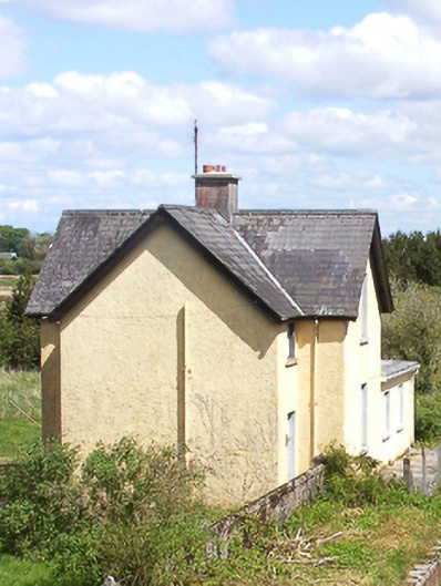 Bekan Railway Stationstation master's house · 1188 yd
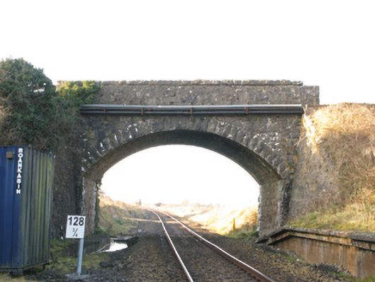 bridgebridge · 1225 yd
 IndicatedFairy fort / earthen ringfort · 1551 yd
 Enclosure in BekanEnclosure · 1.0 mi
 Knock MuseumMuseum · 4.3 mi
 Knock ShrineHeritage attraction · 4.4 mi
 Ballybooley CastleCastle · 4.6 mi
 CastleCastle, unclassified · 5.4 mi
 Oak WoodForest · 6.5 mi
 Geoffrey's WoodForest · 7.3 mi
 Mass RockNamed rock · 15 mi
 Church (in Ruins)Church · 1.0 mi