What is recorded here
Monitoring of topsoil removal on the Northeastern Pipeline (Phase 3) revealed a small fulacht fia, lying at the summit of a NE-facing slope towards Mullagh Lough. It had maximum dimensions of 8m x 8m with a centrally placed, stone-lined pit (dims. 1.8m x 1m; D 0.55m). The burnt mound material had a maximum depth of 0.2m around the trough. There were no other finds or related features. (Gowan 1993, 4)
Compiled by: Paul Walsh
Date of upload: 18 April 2012
The monument record does not grant public access. Check the route and ask the landowner before entering private land.
- What survives
- Recorded monument
Places near here
 IndicatedHoly well · 279 yd
 Cloghbally LowerMountain / peak · 527 yd
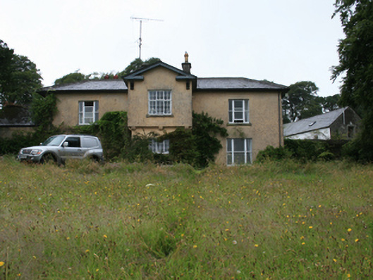 Lake View Housecountry house · 817 yd
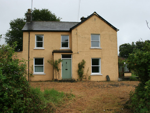 Gorteen Househouse · 1088 yd
 Cloghballybeg ForestForest · 1350 yd
 Crow IslandIslet · 1375 yd
 Green IslandPromontory fort, inland · 1560 yd
 Sally IslandIslet · 1653 yd
 Cornaglare or PalmiraMountain / peak · 1.9 mi
 CastleCastle, unclassified · 2.0 mi
 Sit of Old CastleCastle, unclassified · 2.2 mi
 R. C. ChapelChurch · 1585 yd