
What is recorded here
Situated c. 20m N of the Barnakyle River on a gentle S-facing slope in poorly drained pasture with good views in all directions, but sheltered to SW by a deciduous wood on a hill. Partially excavated (Gowen, 1988) fulacht fiadh and possible trough. The mound material had a maximum thickness of 0.15m and covered an area c. 20m wide. Three roughly hewn planks were embedded into the mound material to a depth of 30mm. These were set parallel to each other on a level surface and may represent the basal lining of a trough. All three timbers had been worked and were well preserved. (Gowen 1988, 133-134)
Compiled by: Denis Power
Date of upload: 2 April 2013
The monument record does not grant public access. Check the route and ask the landowner before entering private land.
- What survives
- Recorded monument
Places near here
 Mound in GreenmountMound · 118 yd
 Field system in CloghaclokaField system · 221 yd
 Castle FieldCastle, unclassified · 1275 yd
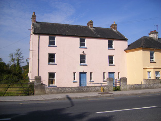 RIC barracksRIC barracks · 1650 yd
 Fort Etnacountry house · 1681 yd
 Ballinveala Castle (in ruins)Castle, tower house · 2.3 mi
 Sailors HaggardMemorial · 5.2 mi
 Kinnoor WellSpring · 7.3 mi
 Grass IslandIslet · 7.4 mi
 Maiden RockNamed rock · 7.6 mi
 Flat cemetery in Kiltenan SouthFlat cemetery · 7.9 mi
 Mellon PointHeadland · 8.2 mi
Other information
Photo: Credit not shown in the picture search · Rights wording not checked; contact us if this picture should be removed