
What is recorded here
Situated in two fields N and S of the Barnakyle River in low-lying, poorly drained pasture with good views in all directions. Identified from aerial photographs as a number of low banks and mounds. The monument is not visible at ground level. Some outcropping of rock is visible on the ground.
The monument record does not grant public access. Check the route and ask the landowner before entering private land.
- What survives
- Recorded monument
Places near here
 Fulacht fia in CloghaclokaFulacht fia · 221 yd
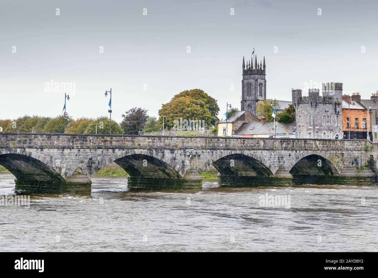 Mound in GreenmountMound · 337 yd
 Castle FieldCastle, unclassified · 1105 yd
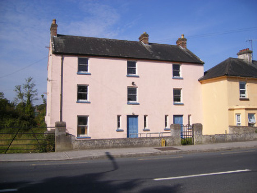 RIC barracksRIC barracks · 1755 yd
 Fort Etnacountry house · 1.1 mi
 Ballinveala Castle (in ruins)Castle, tower house · 2.4 mi
 Sailors HaggardMemorial · 5.1 mi
 Grass IslandIslet · 7.3 mi
 Kinnoor WellSpring · 7.4 mi
 Maiden RockNamed rock · 7.6 mi
 Flat cemetery in Kiltenan SouthFlat cemetery · 8.0 mi
 Mellon PointHeadland · 8.2 mi
Other information
Photo: Credit not shown in the picture search · Rights wording not checked; contact us if this picture should be removed