What is recorded here
Three ancient cooking pits still mark the western slope above Derriana and Cloonaghlin loughs, their earth mixed with charcoal and shattered stone from repeated fires. The largest mound stretches thirteen metres across, while a smaller horseshoe pit faces the stream and a third lies twelve metres east, all nested within old field walls. People likely heated water there for food, cleaning or ritual, leaving behind a landscape where heat and memory still shape the soil.
Located on the lower W slopes of an E-W ridge that divides Derriana and Cloonaghlin loughs, on the S side of a small stream, are two adjoining fulachta fiadh and a third which lies 12m further to E. The fulacht fiadh at W is a horseshoe-shaped mound, 1.1m high, which faces the stream at NNE. It measures 9.7m in overall diameter and its U-shaped central depression measures 4.1m NNE-SSW x 4.5m WNW-ESE. Some large upright slabs protrude from the base of its S side. The composition of the mound is clearly visible and is of earth intermixed with quantities of fire-shattered stone and charcoal flecks and nodules. Adjacent at E, and similarly composed, is a second, larger, fulacht fiadh, 13m in diameter and more irregular in outline. A small flat-topped rise partly obstructs the open N end of the mound. Two ill-defined gaps, apparently of recent origin, occur at SW and SE. A third mound of horseshoe-shape occurs to E, measuring 8.9m NE-SW x 10.5m NW-SE. It is open at NW, where is depression measures 4.4m x 3.4m. The three sites occur within a complex of old field walls.
The above description is derived from A. O'Sullivan and J. Sheehan (compilers), 'The Iveragh peninsula: an archaeological survey of South Kerry'. Cork University Press (1996), no. 411. In certain instances the entries have been revised and updated in the light of recent research.
Date of upload: 28 July 2013
The monument record does not grant public access. Check the route and ask the landowner before entering private land.
- What survives
- Recorded monument
Places near here
 Ecclesiastical enclosure in Ceapaigh Na GcrannEcclesiastical enclosure · 585 yd
 Hut site in Cois ChomarachHut site · 735 yd
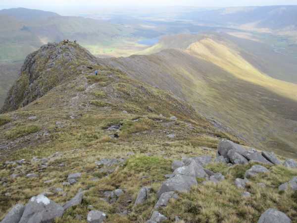 An Bhinn LáirMountain / peak · 1.8 mi
 Beann na StiocairíMountain / peak · 2.3 mi
 Scoil Náisiúnta Máistir Gaoithe [Mastergeehy National School]school · 3.0 mi
 RoadRoad, road/trackway · 4.2 mi
 2Cliff · 4.6 mi
 An PlaoscHeadland · 4.7 mi
 De Gaulle MemorialMonument · 6.3 mi
 Short Castle (Site of)Castle, unclassified · 6.4 mi
 Sneem Commemoration PlaqueMemorial · 6.4 mi
 Coral BeachBeach / strand · 6.9 mi