
What is recorded here
Children's Burial Ground (KE090-005001-): This site is located in rough pasture almost midway between Lough Derriana and Lough Namona, at the head of the Cummeragh river valley. Subrectangular in plan, it measures 28.8m N-S x 49m E-W internally and is enclosed by a low rubble wall that is faced externally with coursed drystone masonry. This wall averages .8m in external height and 1.4m in basal width. An inturning of the wall-face at SW may indicate the location of the original entrance. A portion of the wall at E appears to have been rebuilt and a substantial amount of field clearance abuts it externally at NW. Towards the centre of the site is a rectangular enclosure, and to NW of this are the remains of an oratory. A Man-made underground passage (KE090-005004-) occurs within the site (local information), but its precise location could not be identified.
Oratory (KE090-005002-): This rectangular drystone structure, measuring 3.2m N-S x 4.6m E-W internally, displays a pronounced corbel in its 8m high N side-wall and at its external angles. The walls average 1.2m thick and an inward bulge is noticeable in the E end-wall. External offsets on both side-walls merge into the angles of the W end-wall and run beneath the collapse that abuts the E end-wall; these offsets are .2m wide. The entrance at W is .7m wide.
Rectangular Enclosure (KE090-005003-): A rectangular area measuring 6.9m x 6m is enclosed by a well-built drystone wall, averaging .6m high and 1.1m wide. Its internal angles are slightly rounded and an ill-defined entrance is located at W, where a notched slab lies on the surface of the wall. In its interior is a rectangular mound of stone, .4m high, with traces of coursing at its edges. Some coursing is also evident in the body of the mound (KE090-005005-), which includes much quartz.
Burial Ground: The centre of the site, including the interiors of the oratory and of the rectangular enclosure, are occupied by numerous, uninscribed upright slabs which probably relate to the use of the site as a children's burial ground. This area measures c. 28m x 14m.
The above description is derived from A. O'Sullivan and J. Sheehan (compilers), 'The Iveragh peninsula: an archaeological survey of South Kerry'. Cork University Press (1996), no. 935. In certain instances the entries have been revised and updated in the light of recent research.
Date of upload: 30 July 2013
The monument record does not grant public access. Check the route and ask the landowner before entering private land.
- What survives
- Recorded monument
Places near here
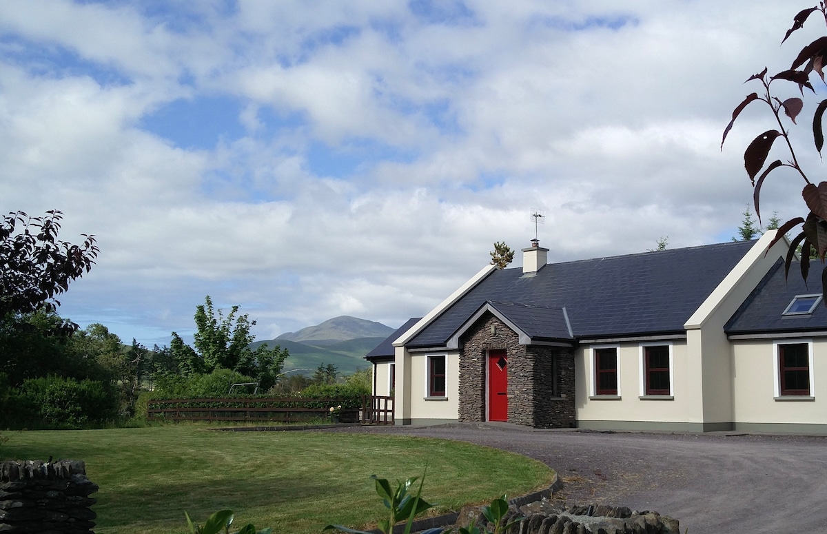 Hut site in Cois ChomarachHut site · 150 yd
 Cultivation ridges in Cois ChomarachCultivation ridges · 252 yd
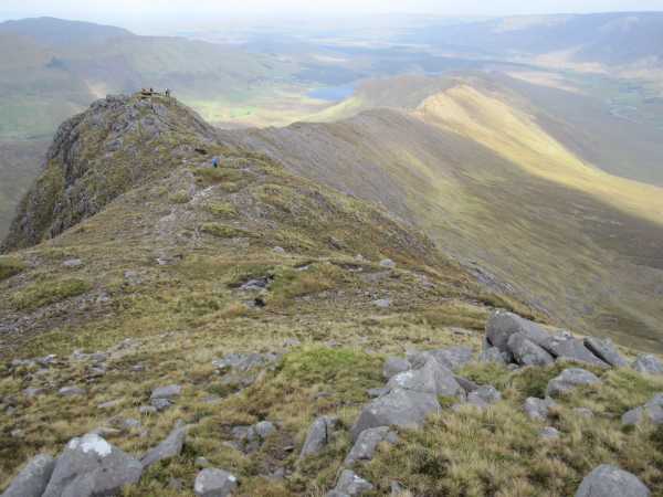 An Bhinn LáirMountain / peak · 2.0 mi
 Beann na StiocairíMountain / peak · 2.6 mi
 Scoil Náisiúnta Máistir Gaoithe [Mastergeehy National School]school · 2.9 mi
 Dromod Church (in Ruins)Church · 4.3 mi
 An PlaoscHeadland · 4.9 mi
 2Cliff · 4.9 mi
 Short Castle (Site of)Castle, unclassified · 6.1 mi
 De Gaulle MemorialMonument · 6.6 mi
 Sneem Commemoration PlaqueMemorial · 6.7 mi
 CastleCastle, tower house · 6.9 mi
Other information
Photo: Credit not shown in the picture search · Rights wording not checked; contact us if this picture should be removed