What is recorded here
Carrownagoul hides a fulacht fia on waterlogged ground beside Castle Lough, where heat and water may have turned raw flesh into sustenance before the land took the markers back. The turlough breathes with the seasons, giving up grass in some years and swallowing footholds in others, so the site resists easy judgment. A kitchen, a trap or a boundary marker could all have worn into memory, while the lake kept its own counsel.
On low-lying waterlogged ground at the NE edge of Castle Lough’s turlough floodplain. Listed as ‘Fulacht fiadh’ in the RMP (1996) on the basis of a map annotation (‘eroded fulacht fia’) by Tom Coffey. No visible remains were found on inspection in 1999.
Compiled by: Gearóid Conroy and Conn Herriott
Date of upload: June 2023
The monument record does not grant public access. Check the route and ask the landowner before entering private land.
- What survives
- Recorded monument
Places near here
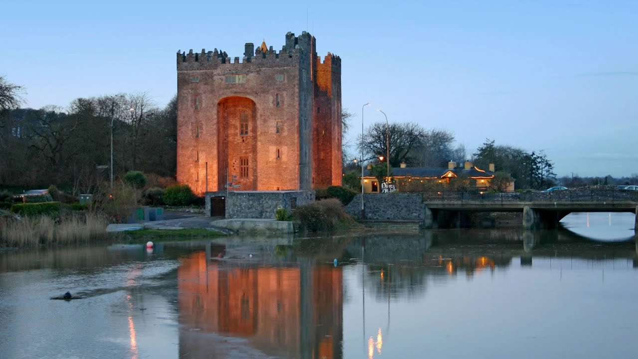 Castle (in ruins)Castle, tower house · 530 yd
 Enclosure in CarrownagoulEnclosure · 743 yd
 IndicatedFairy fort / stone ringfort · 1553 yd
 R.C. Chapel (in ruins)Church · 1.0 mi
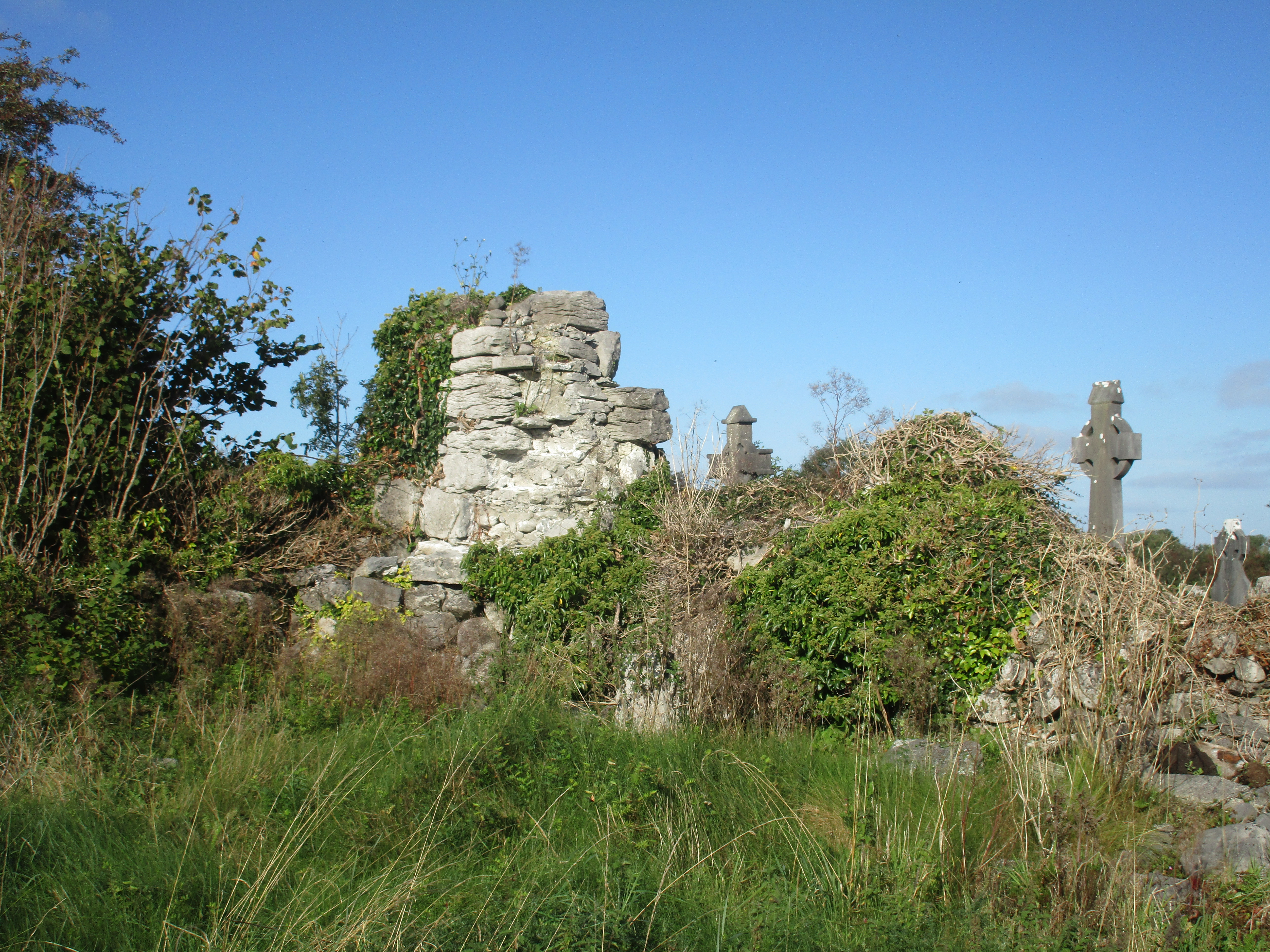 Church (in Ruins)Church · 1.0 mi
 Burren National ParkNature reserve · 1.4 mi
 Slieve RoeMountain / peak · 1.7 mi
 Cloondooan Castle (in ruins)Castle, tower house · 1.7 mi
 Mullagh MoreMountain / peak · 2.2 mi
 Kilnaloone GraveyardArchaeological place · 2.5 mi
 Father Ted's HouseHeritage attraction · 3.0 mi
 Kilmacduagh Monastic SiteVisitor information · 3.5 mi