
What is recorded here
At the base of a steep WNW-facing slope and on the WNW side of a field boundary and stream. In 1995, a roughly circular mound (diam. 13.9m; H 1m) with a central depression (D 0.3m) and a SW-facing opening was recorded here (SMR file). The field has since been planted with coniferous trees but the fulacht fia is fenced off with a wire fence. Though it is densely covered with briars it was possible to identify heat-shattered stones and charcoal-enriched soil which extends under the wire fence to the SE. On the opposite side of the field boundary at E is a wet marshy area.
The above description is derived from 'The Archaeological Inventory of County Cork. Volume 5' (Dublin: Stationery Office, 2009).
Date of upload: 22 December 2009
The monument record does not grant public access. Check the route and ask the landowner before entering private land.
- What survives
- Recorded monument
Places near here
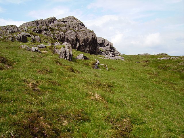 Man-made underground passage in CaherbarnaghMan-made underground passage · 310 yd
 Field boundary in CaherbarnaghField boundary · 495 yd
 Caherbarnagh NW TopMountain / peak · 1.2 mi
 CaherbarnaghMountain / peak · 1.5 mi
 Penitential StationPenitential station · 2.1 mi
 Gortnagane Ring FortRuins · 2.1 mi
 Nohaval WoodWood · 3.7 mi
 BarraduffMemorial · 5.5 mi
 Cascade WoodWood · 6.9 mi
 Castle (Site of)Castle, unclassified · 7.0 mi
 Killaha Castle (in Ruins)Castle, tower house · 7.8 mi
 European long distance path E8 - part IrelandWalking route · 9.2 mi
Other information
Photo: Credit not shown in the picture search · Rights wording not checked; contact us if this picture should be removed