What is recorded here
Meltwater still ghosts the hollow where hot stones once hissed for bread or baths. The field belongs to nobody visible, which is why the water remembers every hand that touched it. A road passes the east edge like a guard that forgot its orders. The spring has been caged in pipe, yet the hollow keeps its shape because water learns patience before it leaves.
In rough, damp pasture, close to a natural spring now diverted into an underground pipe. A road borders the E side of the field. Low, sod-covered horseshoe-shaped mound (15.5m N-S; 8.5m E-W; H 0.4m) with a depression (Wth 5m) between the arms of the mound at SW, possibly indicating the position of a trough. There is a rath (MA039-030----) c. 90m to NW.
Compiled by: Jane O’Shaughnessy
Date of upload: 27 January 2020
The monument record does not grant public access. Check the route and ask the landowner before entering private land.
- What survives
- Recorded monument
Places near here
 IndicatedFairy fort / earthen ringfort · 128 yd
 Enclosure in Carrowcastle (gallen By., Kilgarvan Par.)Enclosure · 1.3 mi
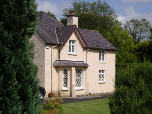 Woodbine Househouse · 2.1 mi
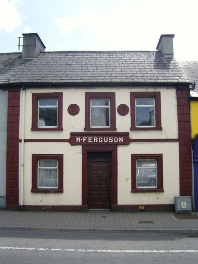 M. Fergusonhouse · 2.1 mi
 CastleCastle, unclassified · 2.2 mi
 Belleck CastleCastle, unclassified · 2.5 mi
 Humbert MonumentMemorial · 2.5 miBattle of Ballinabattle · 2.9 mi
 Gull IslandIslet · 3.1 mi
 The Marshall Doran CollectionGallery · 3.3 mi
 FloretteWreck · 3.4 mi
 Belleek WoodsWood · 3.4 mi