What is recorded here
Situated at the bottom of an E-facing slope in a gently undulating landscape. Archaeological centre-line testing (04E1053) by G. Mcloughlin (2005) at Testing Area 2 of Contract 5 of the M3 motorway (excavations.ie 2004:1189) identified two spreads of broken and burnt stone that were fully resolved (E003167) by I. Russell in October and November 2006 as Boolies 1 (excavations.ie 2006:1514). This spread of burnt and broken stone (dims 11.5m x 10.5m; max. T 0.24m) was at the S edge of the road-take but very little remained outside it. It overlay a rectangular trough (dims 2m x 1.05m; max. D 0.71m) with steep sides and a flat base and another triangular pit (dims 2.3m x 1.8m; max. D 0.33m). Both the trough and pit were filled with broken and burnt stone in a black matrix. No bones or artefacts were recovered and no date is available. The fulacht fia (ME016-078002-) is c. 10m to the NE. (Russell and Ginn 2008, 2-3)
See the attached plan from Russell and Ginn (2008, fig. 7)
Compiled by: Michael Moore
Date of upload: 4 March 2022
The monument record does not grant public access. Check the route and ask the landowner before entering private land.
- What survives
- Recorded monument
Places near here
 Enclosure in Boolies (kells Upper By., Burry Ed)Enclosure · 712 yd
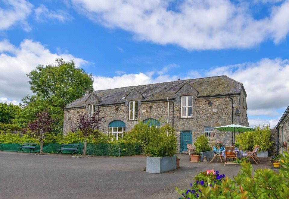 Enclosure in Calliaghstown (kells Upper By.)Enclosure · 1415 yd
 Decoy WoodWood · 1435 yd
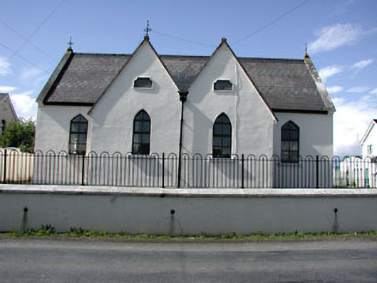 Drumbaragh National Schoolschool · 1608 yd
 Jack's WoodsWood · 1619 yd
 Tower of Lloydmonument · 1.4 mi
 The Pauper's CemeteryMemorial · 1.4 mi
 Great Famine ProjectMemorial · 1.4 mi
 CastleCastle, unclassified · 2.1 mi
 CloncatMountain / peak · 2.5 mi
 MountainpoleMountain / peak · 2.5 mi
 MoatCastle, motte and bailey · 2.8 mi