What is recorded here
On marginal land between bog to the E and rising pasture to the W. Excavated in 2007 in advance of the N9/N10 Kilcullen to Waterford road scheme (Licence no. E3629). A heavily truncated burnt mound (15m E-W; 10m N-S; D 0.2m) consisting of heat-fractured stones and charcoal-rich clay. The burnt mound sealed one pit (D 0.36m; diam 0.6m). Charcoal from the pit returned a radiocarbon date of 1207-979 cal BC (UBA-10988). A burnt mound (KK031-094----) was excavated c. 50m to the SW. (Walsh 2010, 235, no. 884; Walsh and Coughlan 2011)
Compiled by: Mary Tunney
Date of upload: 11 November 2013
The monument record does not grant public access. Check the route and ask the landowner before entering private land.
- What survives
- Recorded monument
Places near here
 BaysrathArchaeological place · 498 yd
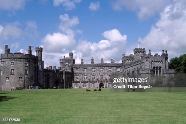 Danganbeg Castle (Site of)Castle, unclassified · 595 yd
 farm housefarm house · 823 yd
 Church in ruinsChurch · 1119 yd
 Sheepstown Castle (site of)Archaeological place · 1370 yd
 IndicatedEnclosure · 1562 yd
 Turkey OakTurkey Oak · 1.3 mi
 Church (in Ruins), GraveyardChurch · 1.9 mi
 Pat WalshMemorial · 2.4 mi
 Castlemorris Pheasant LoopWalking route · 2.8 mi
 Castlemorris WoodForest · 2.8 mi
 Kells Augustinian PrioryHeritage attraction · 3.2 mi