What is recorded here
On previous visit visible as a spread of burnt soil when field is ploughed. Site sloping down from south to north and from east to west. On last visit crop has been harvested but ground left fallow-ie surface broken but no soil discolouration apparent.
Compiled by: Geraldine Stout
Updated by: Christine Baker
Date of upload: 15 November 2014
The monument record does not grant public access. Check the route and ask the landowner before entering private land.
- What survives
- Recorded monument
Places near here
 Enclosure in BarnageeraghEnclosure · 155 yd
 Mound in BarnageeraghMound · 303 yd
 Black Hill NurseryWood · 1438 yd
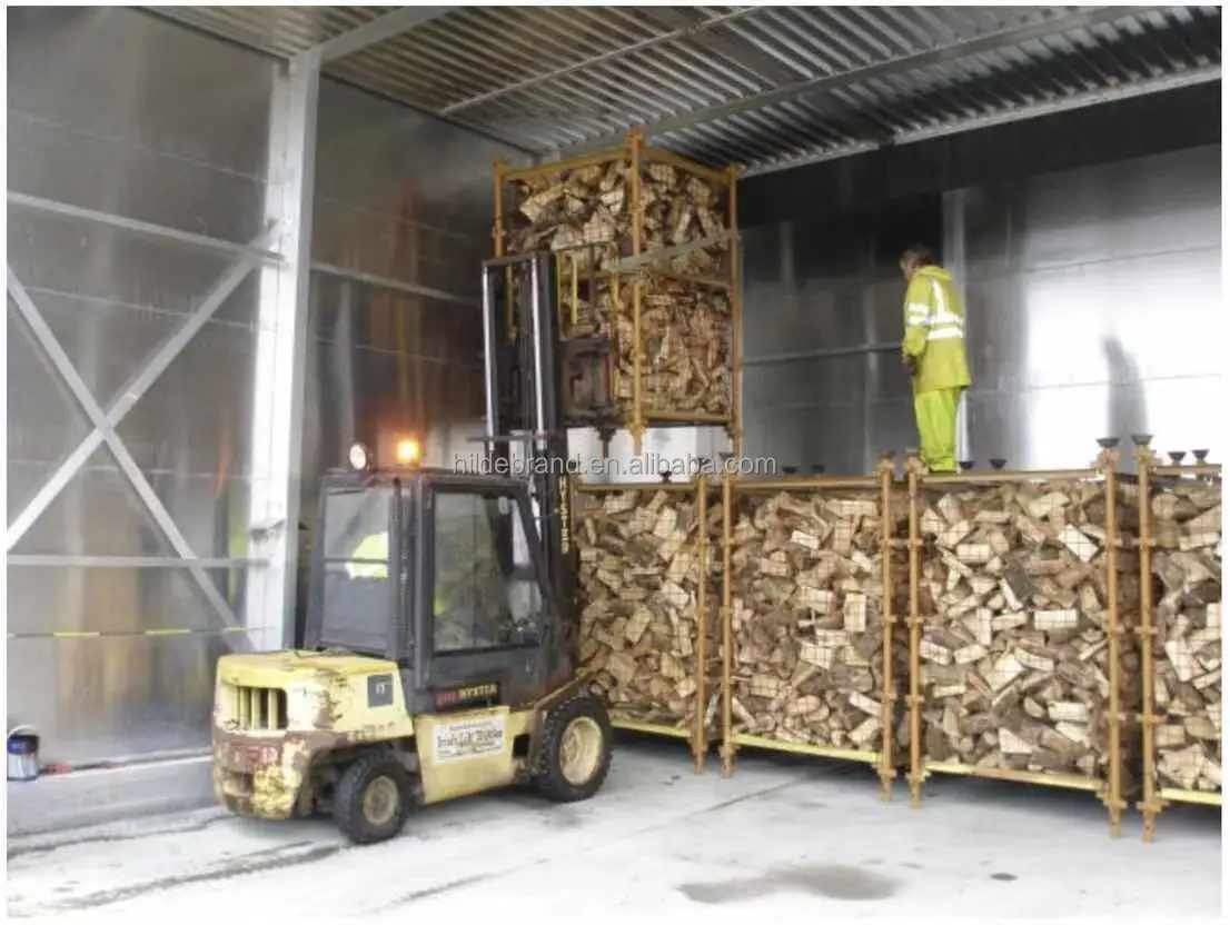 KilnKiln, corn-drying · 1461 yd
 Skerries RockMemorial · 1477 yd
 BBQ AreaPicnic place · 1529 yd
 New PlantationWood · 1535 yd
 Ardgillan Castlecountry house · 1642 yd
 Ardgillan Castle and DemesneHeritage attraction · 1707 yd
 Flat cemetery in BalcunninFlat cemetery · 1.1 mi
 Skerries Harbour and BeachVisitor information · 1.3 mi
 Castle (in ruins)Castle, Anglo-Norman masonry castle · 2.0 mi
Other information
Photo: Credit not shown in the picture search · Rights wording not checked; contact us if this picture should be removed