What is recorded here
In wet pasture roughly midway between St. Bridget's Well (CO045-02101-) and N bank of Bride river. Large quantity of burnt material noted in field fence.
The above description is derived from the published 'Archaeological Inventory of County Cork. Volume 2: East and South Cork' (Dublin: Stationery Office, 1994). In certain instances the entries have been revised and updated in the light of recent research.
Date of upload/revision: 14 January 2009
The monument record does not grant public access. Check the route and ask the landowner before entering private land.
- What survives
- Recorded monument
Places near here
 St Bridgets WellHoly well · 31 yd
 Castle (in Ruins)Castle, tower house · 633 yd
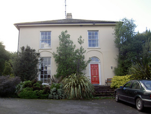 Brideweir Houserectory/glebe/vicarage/curate's house · 947 yd
 Aghern CastleCastle · 1099 yd
 Aghern Housecountry house · 1122 yd
 Enclosure in Grange (barrymore By.)Enclosure · 1379 yd
 Aghern CemeteryWood · 1630 yd
 Coole WellVisitor information · 2.2 mi
 Strawhall WoodForest · 4.5 mi
 Rathcormac massacremassacre · 4.7 mi
 Old Railway ViaductViewpoint · 5.5 mi
 Kent BridgeMemorial · 5.9 mi