What is recorded here
In an area of uncultivated land, densely covered by overgrowth, on a steep N-facing slope. According to local information, there is a fulacht fia here but it could not be located due to the dense overgrowth.
The above description is derived from 'The Archaeological Inventory of County Cork. Volume 5' (Dublin: Stationery Office, 2009).
Date of upload: 22 December 2009
The monument record does not grant public access. Check the route and ask the landowner before entering private land.
- What survives
- Recorded monument
Places near here
 Ladys WellHoly well · 566 yd
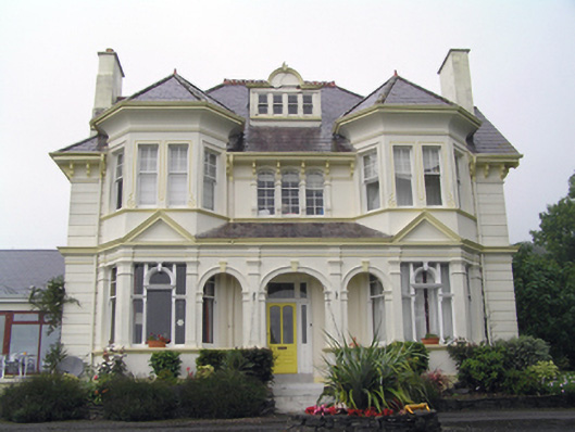 Ballynona Housecountry house · 818 yd
 MillMill, corn · 1202 yd
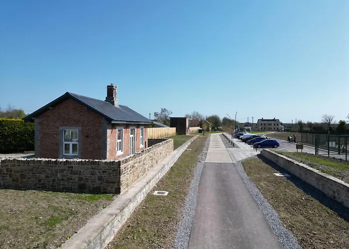 Man-made underground passage in Killeagh (imokilly By.)Man-made underground passage · 1.4 mi
 Dungourney Caslte (Site of)Castle, unclassified · 1.8 mi
 N25 Picnic SitePicnic place · 1.9 mi
 Cahermone CastleCastle · 2.0 mi
 Pigeon WoodWood · 2.5 mi
 Graveyard in Broomfield WestGraveyard · 2.9 mi
 WW1 MonumentMemorial · 3.0 mi
 Clonmult Ambush SiteBattlefield · 3.2 mi
 Mitchell's WoodWood · 3.4 mi