
What is recorded here
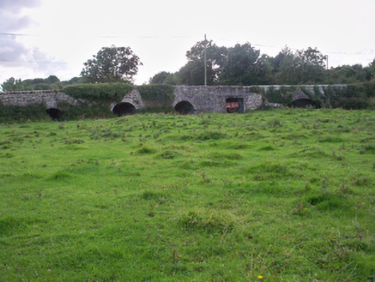
No visible trace remained when the site returned in 1992, erasing the bright identity captured in 1982. That disappearance is not a failed record; it is the character of a turlough edge, where water, grass and time redo the work of people. The mound may still lie shallow beneath the pasture, waiting for drainage or storm to remind the land of its own shape.
In pastureland on the W edge of a turlough. When originally visited in December 1982, this well-preserved
fulacht fiadh (diam. 11.1m) consisted of a low grassed-over circular mound with a central depression opening out to the W. Burnt and cracked stones were evident. Three small irregular mounds visible immediately to the NNE and one to the SSE may have been part of the monument as they also contained burnt earth and limestone. Further to the E, within the turlough, another possible fulacht fiadh (GA103-048003-) was visible. On re-inspection in June 1992 no visible surface trace was visible. A holy well (GA103-048002-) lies c. 60m to the NNW.
Compiled by: Galway Archaeological Survey, UCG
Date of upload: 18 November 2019
The monument record does not grant public access. Check the route and ask the landowner before entering private land.
- What survives
- Recorded monument
Places near here
 CaherlissagunnaFairy fort / stone ringfort · 140 yd
 CaherbegFairy fort / stone ringfort · 430 yd
 Dunkellin Castle (in ruins)Castle, tower house · 1.2 mi
 Dunkellin Bridgebridge · 1.2 mi
 Kiltiernan Church (in ruins)Church · 1.2 mi
 Castlegar (in ruins)Castle, unclassified · 1.5 mi
 Kilcornan ForestWood · 2.6 mi
 Loughaun WoodWood · 3.3 mi
 Drumacoo Monastic SiteHeritage attraction · 3.5 mi
 Drumharsna CastleHeritage attraction · 4.0 mi
 Goose IslandIslet · 7.5 mi
 InishcorraIslet · 7.7 mi
Other information
Photo: Credit not shown in the picture search · Rights wording not checked; contact us if this picture should be removed