What is recorded here
Hot stones and living water, a kitchen without a chimney. The site is a fulacht fia in Ballycummin, County Limerick. The trough measured two metres long and one point two metres wide. It lay on a ridge above marshy ground. Heat would have climbed into the air while water chased the life out of the food. The slope beside it caught the spillings and marked the edge of the work.
Identified during archaeological monitoring associated with the N20/N21 Limerick Bypass. Excavated by Ciara MacManus under licence no. 99E093 (MacManus 1999) when it was described as following; ‘a spread of charcoal-rich soil and burnt stones. Excavation of this spread revealed the existence of a large, subrectangular trough pit, 2m long, 1.2m wide and 0.4m deep, with an east-west orientation. A smaller, linear pit (1.6m x 0.65m) lay to the east of the trough, and a large, subcircular pit (1.2m diameter) lay 1.6m to the south-east of the trough. The trough had been filled by various deposits, which included a sealing layer of redeposited subsoil, over which lay the main fill of charcoal-rich, blackened material containing a large number of burnt stones. The trough had been positioned upon a small ridge surrounded by marshy land, which sloped off to the west. Much of the dump material from the use of the trough appeared to have accumulated down, and to the base of, this slope, evidenced by a 0.13m-thick spread of mound material in this area. Only the partial remains of a fulacht fiadh were uncovered during these excavations; the rest of the site was presumably destroyed by agricultural activity in the past. The remains of a linear plough furrow to the east of the trough and those of a large French drain to the west of the trough confirm this destruction’ (www.excavations.ie 1999; MacManus 2000, 164).
Compiled by: Martin Fitzpatrick
Date upload: 29 June 2020
The monument record does not grant public access. Check the route and ask the landowner before entering private land.
- What survives
- Recorded monument
Places near here
 Bridge in DerryknockaneBridge · 413 yd
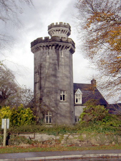 Roche Castlehouse · 952 yd
 ExcavationExcavation, miscellaneous · 1375 yd
 Not shown.Excavation, miscellaneous · 1419 yd
 Castle FieldCastle, unclassified · 1.3 mi
 CastleCastle, ringwork · 2.2 mi
 Sailors HaggardMemorial · 4.9 mi
 Fountain SculptureHeritage attraction · 5.2 mi
 Visitor CentreVisitor information · 5.2 mi
 Campus MapVisitor information · 5.3 mi
 Grass IslandIslet · 7.6 mi
 Maiden RockNamed rock · 7.9 mi