What is recorded here
According to local information fulacht fiadh once visible on SW bank of stream, behind Ballinspittle School. Exact location not known.
The above description is derived from the published 'Archaeological Inventory of County Cork. Volume 2: East and South Cork' (Dublin: Stationery Office, 1994). In certain instances the entries have been revised and updated in the light of recent research.
Date of upload/revision: 14 January 2009
The monument record does not grant public access. Check the route and ask the landowner before entering private land.
- What survives
- Recorded monument
Places near here
 Ballycatten FortArchaeological place · 601 yd
 Church of Ireland Templetrinechurch/chapel · 635 yd
 Church (in Ruins)Church · 656 yd
 ToberreendoneyHoly well · 693 yd
 Ballycatteen WoodWood · 742 yd
 Garrettstown ForestWood · 783 yd
 The Moving StatueHeritage attraction · 1.1 mi
 Hackstown Raised Beach GeologyNamed rock · 2.1 mi
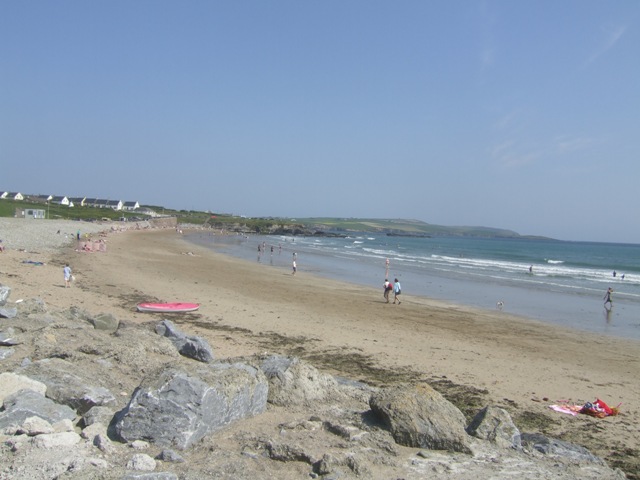 Garretstown StrandBeach / strand · 2.1 mi
 Howe's StrandBeach / strand · 2.4 mi
 Crois Na Leanbh MemorialMemorial · 2.6 mi
 Castle (in Ruins)Castle, tower house · 2.7 mi